Area Overview for HA6 1DW
Photos of HA6 1DW
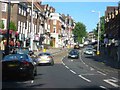
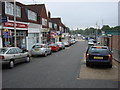
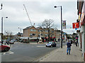
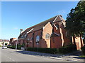
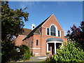
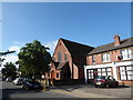
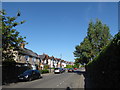
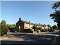
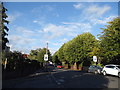
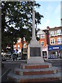
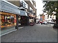
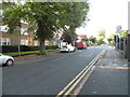
97 photos from this area
Area Information
Key information about the HA6 1DW including its size, population, and administrative classification.
- Area Type
- Postcode
- Area Size
- 1.2 hectares
- Population
- 1599
- Population Density
- 4377 people/km²
House Prices in HA6 1DW
24
Properties
£321,393
Average Sold Price
£76,000
Lowest Price
£809,000
Highest Price
Showing 24 properties
| Address | Type | Beds | Baths | Last Sale Price | Last Sale Date | |
|---|---|---|---|---|---|---|
| 12 Hallowell Road, Northwood, HA6 1DW | house | - | - | £630,000 | Jan 2024 | |
| 20 Hallowell Road, Northwood, HA6 1DW | Semi-detached | 3 | 1 | £809,000 | May 2022 | |
| 14A Hallowell Road, Northwood, HA6 1DW | Maisonette | 2 | 1 | £492,500 | Jun 2021 | |
| 14 Hallowell Road, Northwood, HA6 1DW | Flat | 2 | - | £415,000 | Jun 2020 | |
| 6A Hallowell Road, Northwood, HA6 1DW | Maisonette | 2 | 2 | £500,000 | Sep 2019 | |
| 24A Hallowell Road, Northwood, HA6 1DW | Flat | - | - | £245,000 | Aug 2011 | |
| 6 Hallowell Road, Northwood, HA6 1DW | Flat | 2 | 1 | £240,000 | Feb 2011 | |
| 16 Hallowell Road, Northwood, HA6 1DW | Flat | - | - | £196,000 | May 2009 | |
| 26 Hallowell Road, Northwood, HA6 1DW | Terraced | 3 | 1 | £200,000 | Oct 2008 | |
| 2A Hallowell Road, Northwood, HA6 1DW | Flat | - | - | £250,000 | Jan 2008 |
Page 1 of 3
Energy Efficiency in HA6 1DW
Amenities
Schools
| Rank | School | Type | Entry gender | Ages |
|---|
Explore more schools in this area
Go to Schools tabDemographics
Household Size
Family (3-5 people)
most common
Accommodation Type
Houses
most common
Tenure
60
majority
Ethnic Group
White
most common
Religion
N/A
most common
Household Composition
N/A
most common
Age
47
median
Adults (30-64 years)
most common
Household Deprivation
N/A
with no deprivation
NS-SEC
49
in Lower managerial occupations
Explore more demographic insights in this area
Go to Demographics tabPlanning
Planning Constraints
- Flood RiskPremium
- Ramsar Wetland SitesPremium
- Area of Outstanding Natural BeautyPremium
- Protected Nature ReservePremium
- Protected WoodlandPremium