Area Overview for HA5 4PB
Photos of HA5 4PB
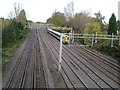
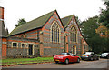
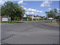
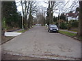
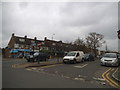
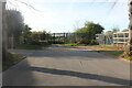
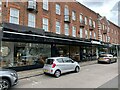
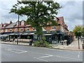
57 photos from this area
Area Information
Key information about the HA5 4PB including its size, population, and administrative classification.
- Area Type
- Postcode
- Area Size
- 2.9 hectares
- Population
- 1462
- Population Density
- 1737 people/km²
House Prices in HA5 4PB
46
Properties
£668,762
Average Sold Price
£170,000
Lowest Price
£1,485,000
Highest Price
Showing 46 properties
| Address | Type | Beds | Baths | Last Sale Price | Last Sale Date | |
|---|---|---|---|---|---|---|
| 91 Hillview Road, Hatch End, HA5 4PB | Detached | 3 | 1 | £965,000 | Oct 2024 | |
| 77 Hillview Road, Hatch End, HA5 4PB | Detached | 4 | 4 | £1,075,000 | Feb 2024 | |
| 89 Hillview Road, Hatch End, HA5 4PB | house | - | - | £910,000 | May 2022 | |
| 11 Hillview Road, Hatch End, HA5 4PB | Semi-detached | 5 | 2 | £1,485,000 | Jul 2021 | |
| 37 Hillview Road, Hatch End, HA5 4PB | house | - | - | £840,000 | Feb 2021 | |
| 41 Hillview Road, Hatch End, HA5 4PB | house | 5 | 3 | £995,000 | Mar 2020 | |
| 53 Hillview Road, Hatch End, HA5 4PB | Semi-detached | 3 | 1 | £680,000 | Oct 2018 | |
| 87 Hillview Road, Hatch End, HA5 4PB | Semi-detached | 5 | 2 | £920,000 | Mar 2018 | |
| 1 Hillview Road, Hatch End, HA5 4PB | Detached | 4 | 2 | £885,000 | Apr 2017 | |
| 19 Hillview Road, Hatch End, HA5 4PB | Semi-detached | 4 | 2 | £799,950 | Dec 2015 |
Page 1 of 5
Energy Efficiency in HA5 4PB
Amenities
Schools
| Rank | School | Type | Entry gender | Ages |
|---|
Explore more schools in this area
Go to Schools tabDemographics
Household Size
Family (3-5 people)
most common
Accommodation Type
Houses
most common
Tenure
87
majority
Ethnic Group
asian_total
most common
Religion
N/A
most common
Household Composition
N/A
most common
Age
47
median
Adults (30-64 years)
most common
Household Deprivation
N/A
with no deprivation
NS-SEC
51
in Lower managerial occupations
Explore more demographic insights in this area
Go to Demographics tabPlanning
Planning Constraints
- Flood RiskPremium
- Ramsar Wetland SitesPremium
- Area of Outstanding Natural BeautyPremium
- Protected Nature ReservePremium
- Protected WoodlandPremium