Area Overview for HA5 3XD
Photos of HA5 3XD

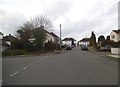
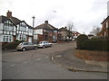
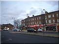
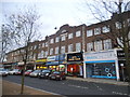
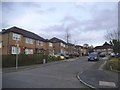
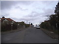
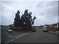
81 photos from this area
Area Information
Key information about the HA5 3XD including its size, population, and administrative classification.
- Area Type
- Postcode
- Area Size
- 1.5 hectares
- Population
- 1708
- Population Density
- 1252 people/km²
House Prices in HA5 3XD
30
Properties
£443,443
Average Sold Price
£107,300
Lowest Price
£689,950
Highest Price
Showing 30 properties
| Address | Type | Beds | Baths | Last Sale Price | Last Sale Date | |
|---|---|---|---|---|---|---|
| 33 Lyndhurst Gardens, Pinner, HA5 3XD | Bungalow | 2 | - | £520,000 | Feb 2024 | |
| 21 Lyndhurst Gardens, Pinner, HA5 3XD | Detached | 3 | 2 | £577,500 | Feb 2024 | |
| 23 Lyndhurst Gardens, Pinner, HA5 3XD | Bungalow | 2 | 1 | £550,000 | Apr 2023 | |
| 55 Lyndhurst Gardens, Pinner, HA5 3XD | Bungalow | 2 | 2 | £680,000 | Dec 2022 | |
| 57 Lyndhurst Gardens, Pinner, HA5 3XD | Bungalow | - | - | £580,000 | Oct 2021 | |
| 37 Lyndhurst Gardens, Pinner, HA5 3XD | Bungalow | 2 | 1 | £689,950 | Sep 2021 | |
| 15 Lyndhurst Gardens, Pinner, HA5 3XD | Bungalow | - | - | £500,000 | Jun 2021 | |
| 39 Lyndhurst Gardens, Pinner, HA5 3XD | Semi-detached | 3 | 2 | £545,000 | Sep 2020 | |
| 25 Lyndhurst Gardens, Pinner, HA5 3XD | Bungalow | 2 | 1 | £455,000 | Aug 2019 | |
| 49 Lyndhurst Gardens, Pinner, HA5 3XD | Bungalow | 4 | 1 | £525,000 | Jul 2019 |
Page 1 of 3
Energy Efficiency in HA5 3XD
Amenities
Schools
| Rank | School | Type | Entry gender | Ages |
|---|
Explore more schools in this area
Go to Schools tabDemographics
Household Size
Family (3-5 people)
most common
Accommodation Type
Houses
most common
Tenure
88
majority
Ethnic Group
asian_total
most common
Religion
N/A
most common
Household Composition
N/A
most common
Age
47
median
Adults (30-64 years)
most common
Household Deprivation
N/A
with no deprivation
NS-SEC
52
in Lower managerial occupations
Explore more demographic insights in this area
Go to Demographics tabPlanning
Planning Constraints
- Flood RiskPremium
- Ramsar Wetland SitesPremium
- Area of Outstanding Natural BeautyPremium
- Protected Nature ReservePremium
- Protected WoodlandPremium