Area Overview for HA5 3DB
Photos of HA5 3DB
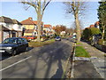
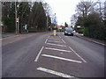
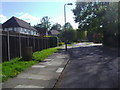
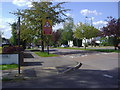
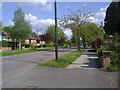
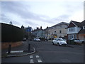
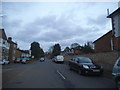
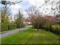
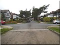
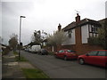
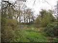
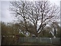
22 photos from this area
Area Information
Key information about the HA5 3DB including its size, population, and administrative classification.
- Area Type
- Postcode
- Area Size
- 8816 m²
- Population
- 1608
- Population Density
- 3287 people/km²
House Prices in HA5 3DB
10
Properties
£1,100,357
Average Sold Price
£370,000
Lowest Price
£1,850,000
Highest Price
Showing 10 properties
| Address | Type | Beds | Baths | Last Sale Price | Last Sale Date | |
|---|---|---|---|---|---|---|
| 34 Paines Lane, Pinner, HA5 3DB | Detached | 7 | 2 | £1,850,000 | Oct 2022 | |
| 36 Paines Lane, Pinner, HA5 3DB | Detached | 5 | 3 | £1,480,000 | Jul 2020 | |
| 28 Paines Lane, Pinner, HA5 3DB | Detached | 5 | 3 | £1,450,000 | Nov 2015 | |
| 30 Paines Lane, Pinner, HA5 3DB | house | - | - | £1,600,000 | Jul 2011 | |
| 40A Paines Lane, Pinner, HA5 3DB | Detached | 4 | 3 | £370,000 | May 2002 | |
| 40 Paines Lane, Pinner, HA5 3DB | Detached | - | - | £457,500 | Jun 2001 | |
| 32 Paines Lane, Pinner, HA5 3DB | house | - | - | £495,000 | Dec 1999 | |
| 38 Paines Lane, Pinner, HA5 3DB | Detached | - | - | - | - | |
| 42 Paines Lane, Pinner, HA5 3DB | Flat | - | - | - | - | |
| 42A Paines Lane, Pinner, HA5 3DB | Flat | 1 | 4 | - | - |
Energy Efficiency in HA5 3DB
Amenities
Schools
| Rank | School | Type | Entry gender | Ages |
|---|
Explore more schools in this area
Go to Schools tabDemographics
Household Size
Family (3-5 people)
most common
Accommodation Type
Houses
most common
Tenure
89
majority
Ethnic Group
White
most common
Religion
N/A
most common
Household Composition
N/A
most common
Age
47
median
Adults (30-64 years)
most common
Household Deprivation
N/A
with no deprivation
NS-SEC
57
in Lower managerial occupations
Explore more demographic insights in this area
Go to Demographics tabPlanning
Planning Constraints
- Flood RiskPremium
- Ramsar Wetland SitesPremium
- Area of Outstanding Natural BeautyPremium
- Protected Nature ReservePremium
- Protected WoodlandPremium