Area Overview for HA4 9QN
Photos of HA4 9QN
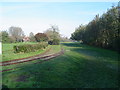
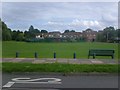
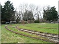
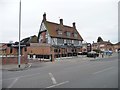
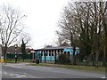
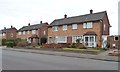
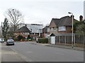
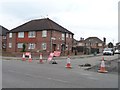
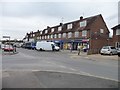
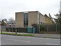
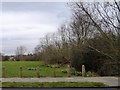
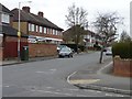
37 photos from this area
Area Information
Key information about the HA4 9QN including its size, population, and administrative classification.
- Area Type
- Postcode
- Area Size
- 2.0 hectares
- Population
- 1777
- Population Density
- 6429 people/km²
House Prices in HA4 9QN
29
Properties
£378,152
Average Sold Price
£146,000
Lowest Price
£630,000
Highest Price
Showing 29 properties
| Address | Type | Beds | Baths | Last Sale Price | Last Sale Date | |
|---|---|---|---|---|---|---|
| 12 Boleyn Drive, Ruislip, HA4 9QN | Bungalow | 2 | 1 | £505,000 | May 2024 | |
| 24 Boleyn Drive, Ruislip, HA4 9QN | Bungalow | 2 | 1 | £545,000 | Feb 2024 | |
| 14 Boleyn Drive, Ruislip, HA4 9QN | Bungalow | 2 | - | £520,000 | Aug 2023 | |
| 2 Boleyn Drive, Ruislip, HA4 9QN | Semi-detached | 3 | - | £610,000 | Feb 2022 | |
| 20 Boleyn Drive, Ruislip, HA4 9QN | house | - | - | £630,000 | Oct 2021 | |
| 6 Boleyn Drive, Ruislip, HA4 9QN | Semi-detached | 2 | - | £400,000 | Jul 2019 | |
| 11 Boleyn Drive, Ruislip, HA4 9QN | Detached | 3 | 2 | £530,000 | Oct 2018 | |
| 18 Boleyn Drive, Ruislip, HA4 9QN | Semi-detached | 3 | 1 | £505,250 | Jul 2016 | |
| 4 Boleyn Drive, Ruislip, HA4 9QN | Semi-detached | 2 | - | £475,000 | Jan 2016 | |
| 25 Boleyn Drive, Ruislip, HA4 9QN | Semi-detached | 3 | - | £437,000 | Sep 2014 |
Page 1 of 3
Energy Efficiency in HA4 9QN
Amenities
Schools
| Rank | School | Type | Entry gender | Ages |
|---|
Explore more schools in this area
Go to Schools tabDemographics
Household Size
Family (3-5 people)
most common
Accommodation Type
Houses
most common
Tenure
78
majority
Ethnic Group
White
most common
Religion
N/A
most common
Household Composition
N/A
most common
Age
47
median
Adults (30-64 years)
most common
Household Deprivation
N/A
with no deprivation
NS-SEC
42
in Lower managerial occupations
Explore more demographic insights in this area
Go to Demographics tabPlanning
Planning Constraints
- Flood RiskPremium
- Ramsar Wetland SitesPremium
- Area of Outstanding Natural BeautyPremium
- Protected Nature ReservePremium
- Protected WoodlandPremium