Area Overview for HA4 7UJ
Photos of HA4 7UJ
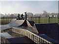
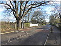
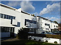
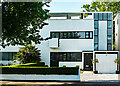
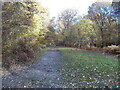
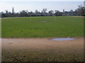
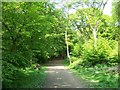
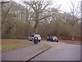
18 photos from this area
Area Information
Key information about the HA4 7UJ including its size, population, and administrative classification.
- Area Type
- Postcode
- Area Size
- 4.1 hectares
- Population
- 1391
- Population Density
- 1523 people/km²
House Prices in HA4 7UJ
16
Properties
£616,600
Average Sold Price
£180,000
Lowest Price
£1,110,000
Highest Price
Showing 16 properties
| Address | Type | Beds | Baths | Last Sale Price | Last Sale Date | |
|---|---|---|---|---|---|---|
| 72 Park Avenue, Ruislip, HA4 7UJ | house | 5 | 2 | £1,110,000 | May 2022 | |
| 70 Park Avenue, Ruislip, HA4 7UJ | house | - | - | £1,110,000 | Aug 2021 | |
| 76 Park Avenue, Ruislip, HA4 7UJ | Detached | 3 | 1 | £745,000 | Feb 2019 | |
| 58 Park Avenue, Ruislip, HA4 7UJ | Detached | 4 | 2 | £780,000 | Sep 2015 | |
| 74 Park Avenue, Ruislip, HA4 7UJ | house | - | - | £540,000 | Sep 2009 | |
| 50 Park Avenue, Ruislip, HA4 7UJ | Semi-detached | - | - | £640,000 | May 2007 | |
| 62 Park Avenue, Ruislip, HA4 7UJ | Detached | 4 | 2 | £445,000 | Mar 2005 | |
| 68 Park Avenue, Ruislip, HA4 7UJ | Semi-detached | - | - | £431,000 | Oct 2004 | |
| 56 Park Avenue, Ruislip, HA4 7UJ | Detached | 4 | 2 | £185,000 | Mar 1996 | |
| 54 Park Avenue, Ruislip, HA4 7UJ | Semi-detached | - | - | £180,000 | Dec 1995 |
Page 1 of 2
Energy Efficiency in HA4 7UJ
Amenities
Schools
| Rank | School | Type | Entry gender | Ages |
|---|
Explore more schools in this area
Go to Schools tabDemographics
Household Size
Family (3-5 people)
most common
Accommodation Type
Houses
most common
Tenure
93
majority
Ethnic Group
White
most common
Religion
N/A
most common
Household Composition
N/A
most common
Age
47
median
Adults (30-64 years)
most common
Household Deprivation
N/A
with no deprivation
NS-SEC
53
in Lower managerial occupations
Explore more demographic insights in this area
Go to Demographics tabPlanning
Planning Constraints
- Flood RiskPremium
- Ramsar Wetland SitesPremium
- Area of Outstanding Natural BeautyPremium
- Protected Nature ReservePremium
- Protected WoodlandPremium