Area Overview for HA4 6UP
Photos of HA4 6UP
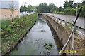
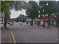
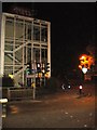
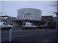
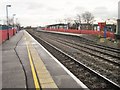
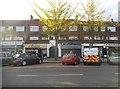
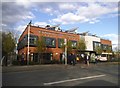
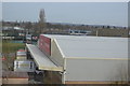
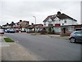
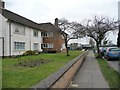
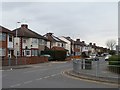
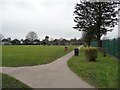
93 photos from this area
Area Information
Key information about the HA4 6UP including its size, population, and administrative classification.
- Area Type
- Postcode
- Area Size
- 6730 m²
- Population
- 2481
- Population Density
- 3690 people/km²
House Prices in HA4 6UP
21
Properties
£538,577
Average Sold Price
£284,950
Lowest Price
£940,000
Highest Price
Showing 21 properties
| Address | Type | Beds | Baths | Last Sale Price | Last Sale Date | |
|---|---|---|---|---|---|---|
| 33 Edwards Avenue, Ruislip, HA4 6UP | Maisonette | 2 | 1 | £365,000 | Jan 2025 | |
| 25 Edwards Avenue, Ruislip, HA4 6UP | Semi-detached | 3 | 2 | £830,000 | Mar 2024 | |
| 37 Edwards Avenue, Ruislip, HA4 6UP | Detached | 2 | - | £940,000 | Mar 2023 | |
| 31 Edwards Avenue, Ruislip, HA4 6UP | Semi-detached | 5 | 3 | £935,551 | Oct 2022 | |
| 35 Edwards Avenue, Ruislip, HA4 6UP | house | 3 | - | £585,000 | Dec 2019 | |
| 43 Edwards Avenue, Ruislip, HA4 6UP | Detached | 5 | - | £600,000 | Sep 2016 | |
| 35A Edwards Avenue, Ruislip, HA4 6UP | Semi-detached | 3 | 2 | £600,000 | Jan 2016 | |
| 23 Edwards Avenue, Ruislip, HA4 6UP | Retail | 3 | 1 | £406,000 | Aug 2014 | |
| 27 Edwards Avenue, Ruislip, HA4 6UP | Semi-detached | 4 | 3 | £383,000 | Sep 2012 | |
| 39A Edwards Avenue, Ruislip, HA4 6UP | Semi-detached | 4 | 1 | £384,500 | Oct 2011 |
Page 1 of 3
Energy Efficiency in HA4 6UP
Amenities
Schools
| Rank | School | Type | Entry gender | Ages |
|---|
Explore more schools in this area
Go to Schools tabDemographics
Household Size
Family (3-5 people)
most common
Accommodation Type
Flats
most common
Tenure
55
majority
Ethnic Group
White
most common
Religion
N/A
most common
Household Composition
N/A
most common
Age
47
median
Adults (30-64 years)
most common
Household Deprivation
N/A
with no deprivation
NS-SEC
38
in Lower managerial occupations
Explore more demographic insights in this area
Go to Demographics tabPlanning
Planning Constraints
- Flood RiskPremium
- Ramsar Wetland SitesPremium
- Area of Outstanding Natural BeautyPremium
- Protected Nature ReservePremium
- Protected WoodlandPremium