Area Overview for HA4 0TJ
Photos of HA4 0TJ
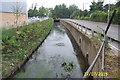
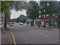
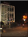
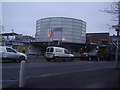
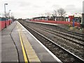
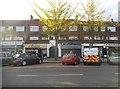
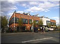
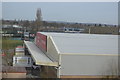
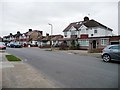
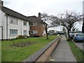
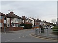
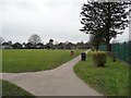
93 photos from this area
Area Information
Key information about the HA4 0TJ including its size, population, and administrative classification.
- Area Type
- Postcode
- Area Size
- 1.0 hectares
- Population
- 1714
- Population Density
- 6377 people/km²
House Prices in HA4 0TJ
42
Properties
£315,247
Average Sold Price
£89,950
Lowest Price
£575,000
Highest Price
Showing 42 properties
| Address | Type | Beds | Baths | Last Sale Price | Last Sale Date | |
|---|---|---|---|---|---|---|
| 94 Hartland Drive, Ruislip, HA4 0TJ | Terraced | 3 | 1 | £460,000 | Jun 2024 | |
| 116 Hartland Drive, Ruislip, HA4 0TJ | Terraced | 3 | 3 | £575,000 | Mar 2024 | |
| 107 Hartland Drive, Ruislip, HA4 0TJ | Terraced | 2 | 1 | £534,400 | Oct 2023 | |
| 98 Hartland Drive, Ruislip, HA4 0TJ | Terraced | 2 | 1 | £475,000 | Jul 2022 | |
| 104 Hartland Drive, Ruislip, HA4 0TJ | house | 2 | - | £535,000 | Mar 2021 | |
| 97 Hartland Drive, Ruislip, HA4 0TJ | Terraced | 3 | 2 | £565,000 | Jan 2020 | |
| 102 Hartland Drive, Ruislip, HA4 0TJ | Terraced | 2 | 1 | £415,000 | Jan 2020 | |
| 105 Hartland Drive, Ruislip, HA4 0TJ | Terraced | 2 | 1 | £415,000 | Jan 2020 | |
| 110 Hartland Drive, Ruislip, HA4 0TJ | Terraced | 6 | 4 | £415,000 | Apr 2019 | |
| 90 Hartland Drive, Ruislip, HA4 0TJ | house | 3 | - | £525,000 | Sep 2017 |
Page 1 of 5
Energy Efficiency in HA4 0TJ
Amenities
Schools
| Rank | School | Type | Entry gender | Ages |
|---|
Explore more schools in this area
Go to Schools tabDemographics
Household Size
Family (3-5 people)
most common
Accommodation Type
Houses
most common
Tenure
86
majority
Ethnic Group
White
most common
Religion
N/A
most common
Household Composition
N/A
most common
Age
47
median
Adults (30-64 years)
most common
Household Deprivation
N/A
with no deprivation
NS-SEC
44
in Lower managerial occupations
Explore more demographic insights in this area
Go to Demographics tabPlanning
Planning Constraints
- Flood RiskPremium
- Ramsar Wetland SitesPremium
- Area of Outstanding Natural BeautyPremium
- Protected Nature ReservePremium
- Protected WoodlandPremium