Area Overview for HA4 0RH
Photos of HA4 0RH
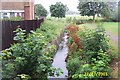
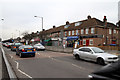
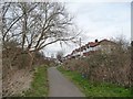
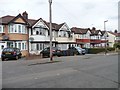
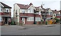
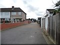
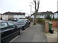
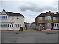
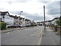
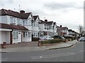
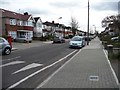
34 photos from this area
Area Information
Key information about the HA4 0RH including its size, population, and administrative classification.
- Area Type
- Postcode
- Area Size
- 5880 m²
- Population
- 1909
- Population Density
- 10541 people/km²
House Prices in HA4 0RH
16
Properties
£362,286
Average Sold Price
£84,000
Lowest Price
£610,000
Highest Price
Showing 16 properties
| Address | Type | Beds | Baths | Last Sale Price | Last Sale Date | |
|---|---|---|---|---|---|---|
| 695 Field End Road, Ruislip, HA4 0RH | Retail | 3 | 1 | £610,000 | Apr 2022 | |
| 715 Field End Road, Ruislip, HA4 0RH | Terraced | 4 | 3 | £580,000 | Jun 2021 | |
| 713 Field End Road, Ruislip, HA4 0RH | house | - | - | £480,000 | Jun 2021 | |
| 709 Field End Road, Ruislip, HA4 0RH | house | - | - | £536,000 | Apr 2021 | |
| 711 Field End Road, Ruislip, HA4 0RH | Terraced | 3 | 1 | £480,000 | Jun 2020 | |
| 697 Field End Road, Ruislip, HA4 0RH | Terraced | 3 | 1 | £430,000 | Jun 2019 | |
| 717 Field End Road, Ruislip, HA4 0RH | Terraced | 2 | 1 | £480,000 | Oct 2017 | |
| 725 Field End Road, Ruislip, HA4 0RH | house | - | - | £430,000 | Sep 2015 | |
| 699 Field End Road, Ruislip, HA4 0RH | Terraced | 4 | 2 | £290,000 | May 2010 | |
| 723 Field End Road, Ruislip, HA4 0RH | Terraced | 3 | 1 | £225,000 | Jul 2004 |
Page 1 of 2
Energy Efficiency in HA4 0RH
Amenities
Schools
| Rank | School | Type | Entry gender | Ages |
|---|
Explore more schools in this area
Go to Schools tabDemographics
Household Size
Family (3-5 people)
most common
Accommodation Type
Houses
most common
Tenure
59
majority
Ethnic Group
asian_total
most common
Religion
N/A
most common
Household Composition
N/A
most common
Age
47
median
Adults (30-64 years)
most common
Household Deprivation
N/A
with no deprivation
NS-SEC
26
in Lower managerial occupations
Explore more demographic insights in this area
Go to Demographics tabPlanning
Planning Constraints
- Flood RiskPremium
- Ramsar Wetland SitesPremium
- Area of Outstanding Natural BeautyPremium
- Protected Nature ReservePremium
- Protected WoodlandPremium