Area Overview for HA3 8QL
Photos of HA3 8QL
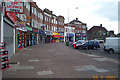
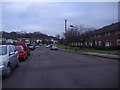
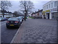

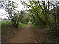
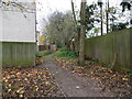
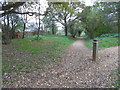
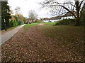
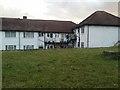
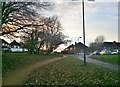
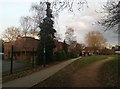
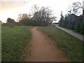
57 photos from this area
Area Information
Key information about the HA3 8QL including its size, population, and administrative classification.
- Area Type
- Postcode
- Area Size
- 9271 m²
- Population
- 1638
- Population Density
- 8045 people/km²
House Prices in HA3 8QL
30
Properties
£337,825
Average Sold Price
£94,000
Lowest Price
£662,500
Highest Price
Showing 30 properties
| Address | Type | Beds | Baths | Last Sale Price | Last Sale Date | |
|---|---|---|---|---|---|---|
| 30 Elgin Avenue, Kenton, HA3 8QL | Semi-detached | 4 | 2 | £662,500 | Apr 2025 | |
| 44 Elgin Avenue, Kenton, HA3 8QL | Semi-detached | 3 | 1 | £585,000 | Nov 2022 | |
| 38 Elgin Avenue, Kenton, HA3 8QL | Retail | 3 | 2 | £581,000 | Jul 2022 | |
| 48 Elgin Avenue, Kenton, HA3 8QL | Semi-detached | - | - | £421,252 | Sep 2019 | |
| 22 Elgin Avenue, Kenton, HA3 8QL | house | - | - | £490,000 | Feb 2016 | |
| 28 Elgin Avenue, Kenton, HA3 8QL | house | - | - | £435,000 | Sep 2014 | |
| 6 Elgin Avenue, Kenton, HA3 8QL | house | - | - | £400,000 | Mar 2014 | |
| 42 Elgin Avenue, Kenton, HA3 8QL | house | 3 | - | £325,000 | Oct 2012 | |
| 60 Elgin Avenue, Kenton, HA3 8QL | Semi-detached | - | - | £267,000 | Nov 2006 | |
| 58 Elgin Avenue, Kenton, HA3 8QL | house | - | - | £289,000 | Dec 2005 |
Page 1 of 3
Energy Efficiency in HA3 8QL
Amenities
Schools
| Rank | School | Type | Entry gender | Ages |
|---|
Explore more schools in this area
Go to Schools tabDemographics
Household Size
Family (3-5 people)
most common
Accommodation Type
Houses
most common
Tenure
83
majority
Ethnic Group
asian_total
most common
Religion
N/A
most common
Household Composition
N/A
most common
Age
47
median
Adults (30-64 years)
most common
Household Deprivation
N/A
with no deprivation
NS-SEC
36
in Lower managerial occupations
Explore more demographic insights in this area
Go to Demographics tabPlanning
Planning Constraints
- Flood RiskPremium
- Ramsar Wetland SitesPremium
- Area of Outstanding Natural BeautyPremium
- Protected Nature ReservePremium
- Protected WoodlandPremium