Area Overview for HA3 8JZ
Photos of HA3 8JZ
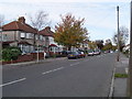
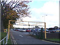
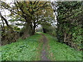
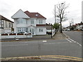
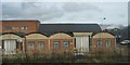
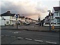
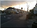
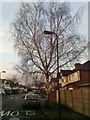
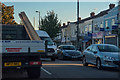
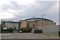
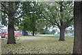
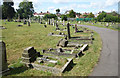
41 photos from this area
Area Information
Key information about the HA3 8JZ including its size, population, and administrative classification.
- Area Type
- Postcode
- Area Size
- 2.3 hectares
- Population
- 1695
- Population Density
- 4445 people/km²
House Prices in HA3 8JZ
36
Properties
£421,060
Average Sold Price
£229,000
Lowest Price
£705,000
Highest Price
Showing 36 properties
| Address | Type | Beds | Baths | Last Sale Price | Last Sale Date | |
|---|---|---|---|---|---|---|
| 5 Prestwood Avenue, Kenton, HA3 8JZ | Retail | 4 | 2 | £633,000 | Jan 2022 | |
| 12 Prestwood Avenue, Kenton, HA3 8JZ | Terraced | 5 | - | £620,000 | Aug 2021 | |
| 8 Prestwood Avenue, Kenton, HA3 8JZ | house | - | - | £705,000 | Apr 2021 | |
| 30 Prestwood Avenue, Kenton, HA3 8JZ | house | 4 | - | £565,000 | Nov 2020 | |
| 3 Prestwood Avenue, Kenton, HA3 8JZ | Terraced | 3 | 1 | £439,950 | Jul 2015 | |
| 34 Prestwood Avenue, Kenton, HA3 8JZ | Semi-detached | 3 | - | £375,000 | Aug 2013 | |
| 6 Prestwood Avenue, Kenton, HA3 8JZ | house | 3 | - | £300,000 | Jun 2010 | |
| 28 Prestwood Avenue, Kenton, HA3 8JZ | Terraced | 3 | - | £288,000 | Oct 2009 | |
| 2 Prestwood Avenue, Kenton, HA3 8JZ | Terraced | - | - | £395,000 | Nov 2007 | |
| 21 Prestwood Avenue, Kenton, HA3 8JZ | Terraced | 4 | 2 | £391,000 | Nov 2007 |
Page 1 of 4
Energy Efficiency in HA3 8JZ
Amenities
Schools
| Rank | School | Type | Entry gender | Ages |
|---|
Explore more schools in this area
Go to Schools tabDemographics
Household Size
Family (3-5 people)
most common
Accommodation Type
Houses
most common
Tenure
68
majority
Ethnic Group
asian_total
most common
Religion
N/A
most common
Household Composition
N/A
most common
Age
47
median
Adults (30-64 years)
most common
Household Deprivation
N/A
with no deprivation
NS-SEC
34
in Lower managerial occupations
Explore more demographic insights in this area
Go to Demographics tabPlanning
Planning Constraints
- Flood RiskPremium
- Ramsar Wetland SitesPremium
- Area of Outstanding Natural BeautyPremium
- Protected Nature ReservePremium
- Protected WoodlandPremium