Area Overview for HA3 8DB
Photos of HA3 8DB
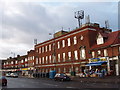
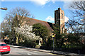
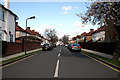
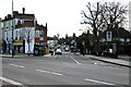
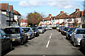
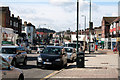
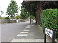
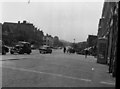

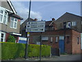
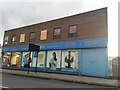
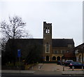
58 photos from this area
Area Information
Key information about the HA3 8DB including its size, population, and administrative classification.
- Area Type
- Postcode
- Area Size
- 5431 m²
- Population
- 1695
- Population Density
- 4445 people/km²
House Prices in HA3 8DB
8
Properties
£346,650
Average Sold Price
£67,950
Lowest Price
£500,000
Highest Price
Showing 8 properties
| Address | Type | Beds | Baths | Last Sale Price | Last Sale Date | |
|---|---|---|---|---|---|---|
| 276 Kenton Road, Kenton, HA3 8DB | Semi-detached | 1 | 1 | £500,000 | Oct 2014 | |
| 274 Kenton Road, Kenton, HA3 8DB | Semi-detached | 3 | 1 | £472,000 | May 2014 | |
| 272A Kenton Road, Kenton, HA3 8DB | Flat | - | - | £67,950 | Nov 1997 | |
| 270 Kenton Road, Kenton, HA3 8DB | Semi-detached | - | - | - | - | |
| 278 Kenton Road, Kenton, HA3 8DB | Detached | - | - | - | - | |
| 268B Kenton Road, Kenton, HA3 8DB | Office | - | - | - | - | |
| 272 Kenton Road, Kenton, HA3 8DB | Flat | - | - | - | - | |
| Velji Bhovan & Sons Trading Ltd, Former Service Station, Kenton Road, Kenton, HA3 8DB | shop | - | - | - | - |
Energy Efficiency in HA3 8DB
Amenities
Schools
| Rank | School | Type | Entry gender | Ages |
|---|
Explore more schools in this area
Go to Schools tabDemographics
Household Size
Family (3-5 people)
most common
Accommodation Type
Houses
most common
Tenure
68
majority
Ethnic Group
asian_total
most common
Religion
N/A
most common
Household Composition
N/A
most common
Age
47
median
Adults (30-64 years)
most common
Household Deprivation
N/A
with no deprivation
NS-SEC
34
in Lower managerial occupations
Explore more demographic insights in this area
Go to Demographics tabPlanning
Planning Constraints
- Flood RiskPremium
- Ramsar Wetland SitesPremium
- Area of Outstanding Natural BeautyPremium
- Protected Nature ReservePremium
- Protected WoodlandPremium