Area Overview for HA3 7BX
Photos of HA3 7BX
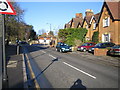
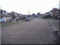
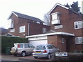
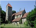
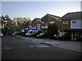
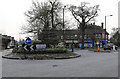
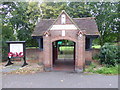
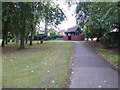
43 photos from this area
Area Information
Key information about the HA3 7BX including its size, population, and administrative classification.
- Area Type
- Postcode
- Area Size
- 5839 m²
- Population
- 1792
- Population Density
- 6247 people/km²
House Prices in HA3 7BX
15
Properties
£465,000
Average Sold Price
£175,000
Lowest Price
£640,000
Highest Price
Showing 15 properties
| Address | Type | Beds | Baths | Last Sale Price | Last Sale Date | |
|---|---|---|---|---|---|---|
| 137 College Hill Road, Harrow Weald, HA3 7BX | Detached | 2 | 1 | £570,000 | Jun 2021 | |
| 135 College Hill Road, Harrow Weald, HA3 7BX | Bungalow | 3 | 2 | £640,000 | Aug 2018 | |
| 133 College Hill Road, Harrow Weald, HA3 7BX | Bungalow | 4 | 2 | £625,000 | Jul 2014 | |
| 125 College Hill Road, Harrow Weald, HA3 7BX | Bungalow | 3 | - | £480,000 | Nov 2011 | |
| 127 College Hill Road, Harrow Weald, HA3 7BX | Semi-detached | - | - | £300,000 | Oct 2001 | |
| 131 College Hill Road, Harrow Weald, HA3 7BX | Flat | 1 | 1 | £175,000 | Aug 1997 | |
| 121C College Hill Road, Harrow Weald, HA3 7BX | Bungalow | 1 | 1 | - | - | |
| Flat 1, 123 College Hill Road, Harrow Weald, HA3 7BX | Maisonette | 3 | 2 | - | - | |
| Flat 2, 123 College Hill Road, Harrow Weald, HA3 7BX | Flat | 1 | - | - | - | |
| 121B College Hill Road, Harrow Weald, HA3 7BX | Flat | - | - | - | - |
Page 1 of 2
Energy Efficiency in HA3 7BX
Amenities
Schools
| Rank | School | Type | Entry gender | Ages |
|---|
Explore more schools in this area
Go to Schools tabDemographics
Household Size
Family (3-5 people)
most common
Accommodation Type
Houses
most common
Tenure
69
majority
Ethnic Group
asian_total
most common
Religion
N/A
most common
Household Composition
N/A
most common
Age
47
median
Adults (30-64 years)
most common
Household Deprivation
N/A
with no deprivation
NS-SEC
36
in Lower managerial occupations
Explore more demographic insights in this area
Go to Demographics tabPlanning
Planning Constraints
- Flood RiskPremium
- Ramsar Wetland SitesPremium
- Area of Outstanding Natural BeautyPremium
- Protected Nature ReservePremium
- Protected WoodlandPremium