Area Overview for HA3 6PG
Photos of HA3 6PG
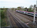

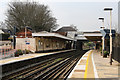
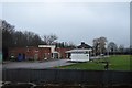
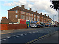
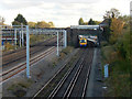
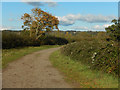
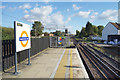

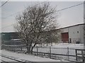
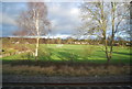
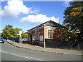
31 photos from this area
Area Information
Key information about the HA3 6PG including its size, population, and administrative classification.
- Area Type
- Postcode
- Area Size
- 4.0 hectares
- Population
- 1566
- Population Density
- 5143 people/km²
House Prices in HA3 6PG
32
Properties
£310,260
Average Sold Price
£130,000
Lowest Price
£475,000
Highest Price
Showing 32 properties
| Address | Type | Beds | Baths | Last Sale Price | Last Sale Date | |
|---|---|---|---|---|---|---|
| 253 Headstone Lane, Harrow, HA3 6PG | Terraced | 2 | 1 | £402,000 | Mar 2025 | |
| 257 Headstone Lane, Harrow, HA3 6PG | Terraced | 2 | 1 | £446,000 | Nov 2024 | |
| 291 Headstone Lane, Harrow, HA3 6PG | Terraced | 4 | 1 | £404,000 | Jan 2024 | |
| 267 Headstone Lane, Harrow, HA3 6PG | house | 3 | - | £475,000 | Mar 2022 | |
| 277 Headstone Lane, Harrow, HA3 6PG | Terraced | 3 | 2 | £442,000 | Apr 2021 | |
| 265 Headstone Lane, Harrow, HA3 6PG | Terraced | 3 | 1 | £405,000 | Sep 2017 | |
| 247 Headstone Lane, Harrow, HA3 6PG | Terraced | 2 | 1 | £312,000 | Sep 2016 | |
| 261 Headstone Lane, Harrow, HA3 6PG | house | - | - | £289,950 | Apr 2014 | |
| 273 Headstone Lane, Harrow, HA3 6PG | house | 3 | - | £250,000 | Mar 2012 | |
| 245 Headstone Lane, Harrow, HA3 6PG | Terraced | 3 | 1 | £249,950 | Jul 2009 |
Page 1 of 4
Energy Efficiency in HA3 6PG
Amenities
Schools
| Rank | School | Type | Entry gender | Ages |
|---|
Explore more schools in this area
Go to Schools tabDemographics
Household Size
Family (3-5 people)
most common
Accommodation Type
Houses
most common
Tenure
39
majority
Ethnic Group
White
most common
Religion
N/A
most common
Household Composition
N/A
most common
Age
47
median
Adults (30-64 years)
most common
Household Deprivation
N/A
with no deprivation
NS-SEC
24
in Lower managerial occupations
Explore more demographic insights in this area
Go to Demographics tabPlanning
Planning Constraints
- Flood RiskPremium
- Ramsar Wetland SitesPremium
- Area of Outstanding Natural BeautyPremium
- Protected Nature ReservePremium
- Protected WoodlandPremium