Area Overview for HA3 0UT
Photos of HA3 0UT

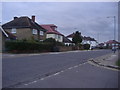
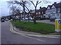
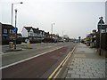
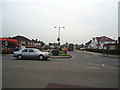
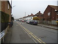
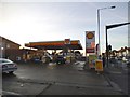
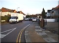
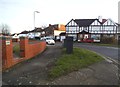
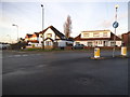
47 photos from this area
Area Information
Key information about the HA3 0UT including its size, population, and administrative classification.
- Area Type
- Postcode
- Area Size
- 2.0 hectares
- Population
- 3155
- Population Density
- 7541 people/km²
House Prices in HA3 0UT
44
Properties
£452,245
Average Sold Price
£153,000
Lowest Price
£650,000
Highest Price
Showing 44 properties
| Address | Type | Beds | Baths | Last Sale Price | Last Sale Date | |
|---|---|---|---|---|---|---|
| 32 Brookfield Crescent, Harrow, HA3 0UT | Semi-detached | 3 | 1 | £575,000 | Jul 2025 | |
| 1 Brookfield Crescent, Harrow, HA3 0UT | Semi-detached | 4 | 1 | £630,000 | Nov 2023 | |
| 22 Brookfield Crescent, Harrow, HA3 0UT | Semi-detached | 5 | 3 | £650,000 | Sep 2023 | |
| 18 Brookfield Crescent, Harrow, HA3 0UT | Terraced | 4 | 3 | £599,000 | Aug 2023 | |
| 15 Brookfield Crescent, Harrow, HA3 0UT | house | - | - | £580,000 | Sep 2021 | |
| 12 Brookfield Crescent, Harrow, HA3 0UT | house | - | - | £535,000 | Dec 2020 | |
| 19 Brookfield Crescent, Harrow, HA3 0UT | Semi-detached | 3 | 2 | £577,000 | Nov 2020 | |
| 17 Brookfield Crescent, Harrow, HA3 0UT | Semi-detached | 3 | 1 | £575,000 | Dec 2017 | |
| 20 Brookfield Crescent, Harrow, HA3 0UT | house | - | - | £604,000 | Jan 2017 | |
| 2 Brookfield Crescent, Harrow, HA3 0UT | house | - | - | £565,000 | Jul 2016 |
Page 1 of 5
Energy Efficiency in HA3 0UT
Amenities
Schools
| Rank | School | Type | Entry gender | Ages |
|---|
Explore more schools in this area
Go to Schools tabDemographics
Household Size
Family (3-5 people)
most common
Accommodation Type
Houses
most common
Tenure
66
majority
Ethnic Group
asian_total
most common
Religion
N/A
most common
Household Composition
N/A
most common
Age
47
median
Adults (30-64 years)
most common
Household Deprivation
N/A
with no deprivation
NS-SEC
30
in Lower managerial occupations
Explore more demographic insights in this area
Go to Demographics tabPlanning
Planning Constraints
- Flood RiskPremium
- Ramsar Wetland SitesPremium
- Area of Outstanding Natural BeautyPremium
- Protected Nature ReservePremium
- Protected WoodlandPremium