Area Overview for HA3 0SJ
Photos of HA3 0SJ

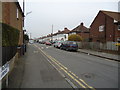
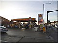
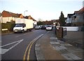
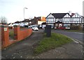
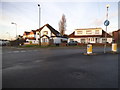
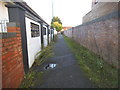
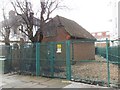
47 photos from this area
Area Information
Key information about the HA3 0SJ including its size, population, and administrative classification.
- Area Type
- Postcode
- Area Size
- 1.7 hectares
- Population
- 1622
- Population Density
- 4069 people/km²
House Prices in HA3 0SJ
35
Properties
£462,202
Average Sold Price
£135,000
Lowest Price
£930,000
Highest Price
Showing 35 properties
| Address | Type | Beds | Baths | Last Sale Price | Last Sale Date | |
|---|---|---|---|---|---|---|
| 111 Vista Way, Harrow, HA3 0SJ | Detached | 3 | 1 | £760,000 | May 2025 | |
| 103 Vista Way, Harrow, HA3 0SJ | Detached | 4 | 2 | £930,000 | Aug 2024 | |
| 77 Vista Way, Harrow, HA3 0SJ | Semi-detached | 3 | 2 | £770,000 | Jan 2024 | |
| 125 Vista Way, Harrow, HA3 0SJ | Semi-detached | 3 | 2 | £747,000 | Mar 2021 | |
| 79 Vista Way, Harrow, HA3 0SJ | Semi-detached | 3 | - | £625,000 | Jun 2020 | |
| 59 Vista Way, Harrow, HA3 0SJ | house | - | - | £647,500 | Aug 2016 | |
| 109 Vista Way, Harrow, HA3 0SJ | Detached | 4 | 1 | £630,000 | Jun 2015 | |
| 127 Vista Way, Harrow, HA3 0SJ | Semi-detached | 3 | 1 | £500,000 | Mar 2014 | |
| 73 Vista Way, Harrow, HA3 0SJ | house | 3 | - | £395,000 | Feb 2012 | |
| 107 Vista Way, Harrow, HA3 0SJ | house | 3 | - | £435,000 | Nov 2011 |
Page 1 of 4
Energy Efficiency in HA3 0SJ
Amenities
Schools
| Rank | School | Type | Entry gender | Ages |
|---|
Explore more schools in this area
Go to Schools tabDemographics
Household Size
Family (3-5 people)
most common
Accommodation Type
Houses
most common
Tenure
83
majority
Ethnic Group
asian_total
most common
Religion
N/A
most common
Household Composition
N/A
most common
Age
47
median
Adults (30-64 years)
most common
Household Deprivation
N/A
with no deprivation
NS-SEC
42
in Lower managerial occupations
Explore more demographic insights in this area
Go to Demographics tabPlanning
Planning Constraints
- Flood RiskPremium
- Ramsar Wetland SitesPremium
- Area of Outstanding Natural BeautyPremium
- Protected Nature ReservePremium
- Protected WoodlandPremium