Area Overview for HA2 9LE
Photos of HA2 9LE
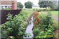
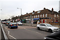
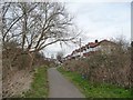
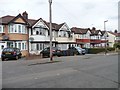
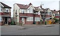
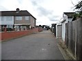
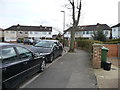
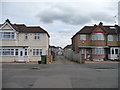
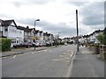
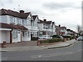
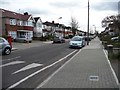
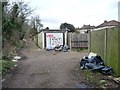
34 photos from this area
Area Information
Key information about the HA2 9LE including its size, population, and administrative classification.
- Area Type
- Postcode
- Area Size
- 1.3 hectares
- Population
- 1732
- Population Density
- 6446 people/km²
House Prices in HA2 9LE
40
Properties
£292,836
Average Sold Price
£81,000
Lowest Price
£560,000
Highest Price
Showing 40 properties
| Address | Type | Beds | Baths | Last Sale Price | Last Sale Date | |
|---|---|---|---|---|---|---|
| 193 Kings Road, South Harrow, HA2 9LE | Terraced | - | - | £495,000 | Jun 2024 | |
| 165 Kings Road, South Harrow, HA2 9LE | Terraced | 3 | 1 | £490,000 | Mar 2019 | |
| 161 Kings Road, South Harrow, HA2 9LE | Terraced | 3 | 1 | £486,000 | Oct 2018 | |
| 147 Kings Road, South Harrow, HA2 9LE | Terraced | 3 | - | £540,000 | Jan 2018 | |
| 167 Kings Road, South Harrow, HA2 9LE | Terraced | 4 | - | £560,000 | Dec 2017 | |
| 149 Kings Road, South Harrow, HA2 9LE | Terraced | 3 | 1 | £540,000 | Nov 2016 | |
| 153 Kings Road, South Harrow, HA2 9LE | house | - | - | £382,000 | Aug 2015 | |
| 201 Kings Road, South Harrow, HA2 9LE | Terraced | 3 | 1 | £287,000 | Dec 2012 | |
| 189 Kings Road, South Harrow, HA2 9LE | house | - | - | £335,000 | Oct 2010 | |
| 131 Kings Road, South Harrow, HA2 9LE | Terraced | 3 | 1 | £290,000 | Mar 2008 |
Page 1 of 4
Energy Efficiency in HA2 9LE
Amenities
Schools
| Rank | School | Type | Entry gender | Ages |
|---|
Explore more schools in this area
Go to Schools tabDemographics
Household Size
Family (3-5 people)
most common
Accommodation Type
Houses
most common
Tenure
72
majority
Ethnic Group
asian_total
most common
Religion
N/A
most common
Household Composition
N/A
most common
Age
47
median
Adults (30-64 years)
most common
Household Deprivation
N/A
with no deprivation
NS-SEC
36
in Lower managerial occupations
Explore more demographic insights in this area
Go to Demographics tabPlanning
Planning Constraints
- Flood RiskPremium
- Ramsar Wetland SitesPremium
- Area of Outstanding Natural BeautyPremium
- Protected Nature ReservePremium
- Protected WoodlandPremium