Area Overview for HA2 9DE
Photos of HA2 9DE
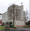


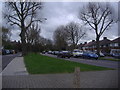
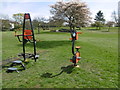
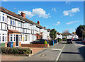
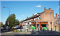

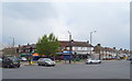
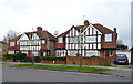
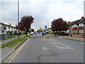
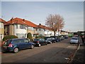
47 photos from this area
Area Information
Key information about the HA2 9DE including its size, population, and administrative classification.
- Area Type
- Postcode
- Area Size
- 3792 m²
- Population
- 1486
- Population Density
- 8670 people/km²
House Prices in HA2 9DE
33
Properties
£201,579
Average Sold Price
£59,500
Lowest Price
£335,000
Highest Price
Showing 33 properties
| Address | Type | Beds | Baths | Last Sale Price | Last Sale Date | |
|---|---|---|---|---|---|---|
| 29 Jasmine Gardens, South Harrow, HA2 9DE | Flat | 2 | 1 | £335,000 | Dec 2024 | |
| 21 Jasmine Gardens, South Harrow, HA2 9DE | Flat | 2 | 1 | £270,000 | Feb 2024 | |
| 33 Jasmine Gardens, South Harrow, HA2 9DE | Flat | 2 | 1 | £317,000 | Nov 2022 | |
| 5 Jasmine Gardens, South Harrow, HA2 9DE | Flat | 1 | 1 | £243,000 | Jun 2021 | |
| 31 Jasmine Gardens, South Harrow, HA2 9DE | Flat | - | - | £270,000 | Nov 2020 | |
| 14 Jasmine Gardens, South Harrow, HA2 9DE | Flat | - | - | £280,000 | Oct 2020 | |
| 19 Jasmine Gardens, South Harrow, HA2 9DE | Flat | 2 | 1 | £300,000 | Apr 2020 | |
| 4 Jasmine Gardens, South Harrow, HA2 9DE | Flat | - | - | £180,000 | Jul 2019 | |
| 28 Jasmine Gardens, South Harrow, HA2 9DE | Flat | 2 | 1 | £305,000 | Jun 2017 | |
| 2 Jasmine Gardens, South Harrow, HA2 9DE | Flat | 1 | - | £260,000 | Apr 2017 |
Page 1 of 4
Energy Efficiency in HA2 9DE
Amenities
Schools
| Rank | School | Type | Entry gender | Ages |
|---|
Explore more schools in this area
Go to Schools tabDemographics
Household Size
Family (3-5 people)
most common
Accommodation Type
Houses
most common
Tenure
44
majority
Ethnic Group
asian_total
most common
Religion
N/A
most common
Household Composition
N/A
most common
Age
47
median
Adults (30-64 years)
most common
Household Deprivation
N/A
with no deprivation
NS-SEC
28
in Lower managerial occupations
Explore more demographic insights in this area
Go to Demographics tabPlanning
Planning Constraints
- Flood RiskPremium
- Ramsar Wetland SitesPremium
- Area of Outstanding Natural BeautyPremium
- Protected Nature ReservePremium
- Protected WoodlandPremium