Area Overview for HA2 9AS
Photos of HA2 9AS
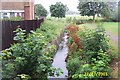
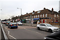
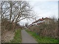
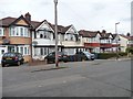
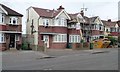
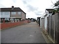
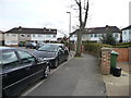
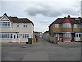
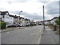
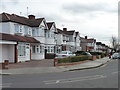
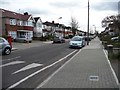
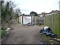
34 photos from this area
Area Information
Key information about the HA2 9AS including its size, population, and administrative classification.
- Area Type
- Postcode
- Area Size
- 3890 m²
- Population
- 1909
- Population Density
- 10541 people/km²
House Prices in HA2 9AS
22
Properties
£154,423
Average Sold Price
£41,500
Lowest Price
£317,500
Highest Price
Showing 22 properties
| Address | Type | Beds | Baths | Last Sale Price | Last Sale Date | |
|---|---|---|---|---|---|---|
| 81 Stuart Avenue, South Harrow, HA2 9AS | Maisonette | 2 | 1 | £317,500 | Mar 2025 | |
| 45 Stuart Avenue, South Harrow, HA2 9AS | Maisonette | 2 | - | £280,000 | Mar 2019 | |
| 67 Stuart Avenue, South Harrow, HA2 9AS | Flat | - | - | £72,000 | Jul 2017 | |
| 55 Stuart Avenue, South Harrow, HA2 9AS | Flat | 2 | 1 | £205,000 | Nov 2007 | |
| 59 Stuart Avenue, South Harrow, HA2 9AS | Maisonette | 2 | 1 | £175,000 | Nov 2006 | |
| 51 Stuart Avenue, South Harrow, HA2 9AS | Maisonette | - | - | £178,000 | Oct 2005 | |
| 57 Stuart Avenue, South Harrow, HA2 9AS | Flat | - | - | £167,000 | Nov 2004 | |
| 69 Stuart Avenue, South Harrow, HA2 9AS | Maisonette | 2 | 1 | £145,000 | Jul 2003 | |
| 49 Stuart Avenue, South Harrow, HA2 9AS | Terraced | - | - | £207,000 | Apr 2003 | |
| 53 Stuart Avenue, South Harrow, HA2 9AS | Maisonette | 2 | - | £94,000 | May 2001 |
Page 1 of 3
Energy Efficiency in HA2 9AS
Amenities
Schools
| Rank | School | Type | Entry gender | Ages |
|---|
Explore more schools in this area
Go to Schools tabDemographics
Household Size
Family (3-5 people)
most common
Accommodation Type
Houses
most common
Tenure
59
majority
Ethnic Group
asian_total
most common
Religion
N/A
most common
Household Composition
N/A
most common
Age
47
median
Adults (30-64 years)
most common
Household Deprivation
N/A
with no deprivation
NS-SEC
26
in Lower managerial occupations
Explore more demographic insights in this area
Go to Demographics tabPlanning
Planning Constraints
- Flood RiskPremium
- Ramsar Wetland SitesPremium
- Area of Outstanding Natural BeautyPremium
- Protected Nature ReservePremium
- Protected WoodlandPremium