Area Overview for HA2 7EH
Photos of HA2 7EH
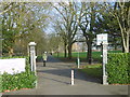
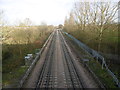

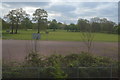

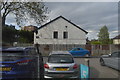
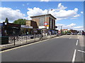
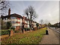
51 photos from this area
Area Information
Key information about the HA2 7EH including its size, population, and administrative classification.
- Area Type
- Postcode
- Area Size
- 7895 m²
- Population
- 1936
- Population Density
- 5372 people/km²
House Prices in HA2 7EH
21
Properties
£404,538
Average Sold Price
£164,000
Lowest Price
£650,000
Highest Price
Showing 21 properties
| Address | Type | Beds | Baths | Last Sale Price | Last Sale Date | |
|---|---|---|---|---|---|---|
| 66 Romney Close, North Harrow, HA2 7EH | Bungalow | 4 | 2 | £645,000 | Sep 2023 | |
| 72 Romney Close, North Harrow, HA2 7EH | Bungalow | - | - | £510,000 | Mar 2021 | |
| 76 Romney Close, North Harrow, HA2 7EH | Detached | 3 | 1 | £540,000 | Jan 2020 | |
| 55 Romney Close, North Harrow, HA2 7EH | Bungalow | 3 | 2 | £530,000 | Sep 2019 | |
| 64 Romney Close, North Harrow, HA2 7EH | Bungalow | - | - | £650,000 | Dec 2015 | |
| 39 Romney Close, North Harrow, HA2 7EH | Semi-detached | 3 | - | £500,000 | May 2015 | |
| 68 Romney Close, North Harrow, HA2 7EH | Semi-detached | 2 | 1 | £345,000 | Jan 2014 | |
| 74 Romney Close, North Harrow, HA2 7EH | Bungalow | 2 | - | £330,000 | Jan 2012 | |
| 62 Romney Close, North Harrow, HA2 7EH | Bungalow | - | - | £260,000 | Sep 2009 | |
| 78 Romney Close, North Harrow, HA2 7EH | Bungalow | - | - | £250,000 | Feb 2006 |
Page 1 of 3
Energy Efficiency in HA2 7EH
Amenities
Schools
| Rank | School | Type | Entry gender | Ages |
|---|
Explore more schools in this area
Go to Schools tabDemographics
Household Size
Family (3-5 people)
most common
Accommodation Type
Houses
most common
Tenure
62
majority
Ethnic Group
asian_total
most common
Religion
N/A
most common
Household Composition
N/A
most common
Age
47
median
Adults (30-64 years)
most common
Household Deprivation
N/A
with no deprivation
NS-SEC
44
in Lower managerial occupations
Explore more demographic insights in this area
Go to Demographics tabPlanning
Planning Constraints
- Flood RiskPremium
- Ramsar Wetland SitesPremium
- Area of Outstanding Natural BeautyPremium
- Protected Nature ReservePremium
- Protected WoodlandPremium