Area Overview for HA2 7DA
Photos of HA2 7DA
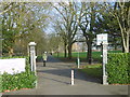
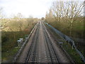
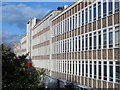
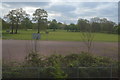
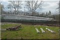
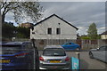
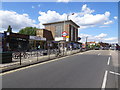
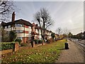
51 photos from this area
Area Information
Key information about the HA2 7DA including its size, population, and administrative classification.
- Area Type
- Postcode
- Area Size
- 3.8 hectares
- Population
- 1936
- Population Density
- 5372 people/km²
House Prices in HA2 7DA
25
Properties
£217,358
Average Sold Price
£58,950
Lowest Price
£385,000
Highest Price
Showing 25 properties
| Address | Type | Beds | Baths | Last Sale Price | Last Sale Date | |
|---|---|---|---|---|---|---|
| 225 The Ridgeway, North Harrow, HA2 7DA | Flat | 2 | 1 | £310,000 | May 2023 | |
| 227 The Ridgeway, North Harrow, HA2 7DA | Flat | 2 | 1 | £342,500 | Dec 2022 | |
| 231 The Ridgeway, North Harrow, HA2 7DA | Flat | 2 | 1 | £370,000 | Mar 2022 | |
| 251 The Ridgeway, North Harrow, HA2 7DA | Maisonette | 2 | 1 | £332,000 | Sep 2021 | |
| 253 The Ridgeway, North Harrow, HA2 7DA | Flat | 1 | - | £283,500 | Dec 2018 | |
| 249 The Ridgeway, North Harrow, HA2 7DA | Maisonette | 1 | 1 | £296,000 | May 2016 | |
| 261 The Ridgeway, North Harrow, HA2 7DA | Semi-detached | 3 | 1 | £385,000 | Jun 2013 | |
| 241 The Ridgeway, North Harrow, HA2 7DA | Flat | - | - | £127,500 | Mar 2013 | |
| 243 The Ridgeway, North Harrow, HA2 7DA | Maisonette | 2 | 1 | £202,000 | May 2011 | |
| 221 The Ridgeway, North Harrow, HA2 7DA | Flat | 1 | 1 | £175,000 | Aug 2009 |
Page 1 of 3
Energy Efficiency in HA2 7DA
Amenities
Schools
| Rank | School | Type | Entry gender | Ages |
|---|
Explore more schools in this area
Go to Schools tabDemographics
Household Size
Family (3-5 people)
most common
Accommodation Type
Houses
most common
Tenure
62
majority
Ethnic Group
asian_total
most common
Religion
N/A
most common
Household Composition
N/A
most common
Age
47
median
Adults (30-64 years)
most common
Household Deprivation
N/A
with no deprivation
NS-SEC
44
in Lower managerial occupations
Explore more demographic insights in this area
Go to Demographics tabPlanning
Planning Constraints
- Flood RiskPremium
- Ramsar Wetland SitesPremium
- Area of Outstanding Natural BeautyPremium
- Protected Nature ReservePremium
- Protected WoodlandPremium