Area Overview for HA2 6AS
Photos of HA2 6AS
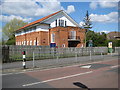
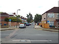
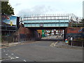
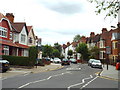
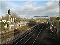
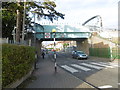
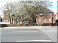
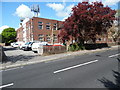
98 photos from this area
Area Information
Key information about the HA2 6AS including its size, population, and administrative classification.
- Area Type
- Postcode
- Area Size
- 9689 m²
- Population
- 1924
- Population Density
- 7316 people/km²
House Prices in HA2 6AS
20
Properties
£462,369
Average Sold Price
£285,000
Lowest Price
£720,000
Highest Price
Showing 20 properties
| Address | Type | Beds | Baths | Last Sale Price | Last Sale Date | |
|---|---|---|---|---|---|---|
| 74 Kingsfield Avenue, North Harrow, HA2 6AS | Flat | 3 | 1 | £425,000 | Aug 2019 | |
| 58 Kingsfield Avenue, North Harrow, HA2 6AS | Semi-detached | 4 | 1 | £720,000 | Aug 2018 | |
| 84 Kingsfield Avenue, North Harrow, HA2 6AS | Semi-detached | 4 | 1 | £611,500 | Jun 2015 | |
| 64 Kingsfield Avenue, North Harrow, HA2 6AS | Semi-detached | 6 | 3 | £399,950 | Oct 2011 | |
| 70 Kingsfield Avenue, North Harrow, HA2 6AS | house | - | - | £384,000 | Feb 2010 | |
| 90 Kingsfield Avenue, North Harrow, HA2 6AS | house | - | - | £498,500 | Sep 2008 | |
| 78 Kingsfield Avenue, North Harrow, HA2 6AS | Semi-detached | - | - | £375,000 | Jun 2004 | |
| 80 Kingsfield Avenue, North Harrow, HA2 6AS | Semi-detached | 5 | 2 | £285,000 | Jul 2002 | |
| 74A Kingsfield Avenue, North Harrow, HA2 6AS | Flat | - | - | - | - | |
| 62 Kingsfield Avenue, North Harrow, HA2 6AS | Semi-detached | - | - | - | - |
Page 1 of 2
Energy Efficiency in HA2 6AS
Amenities
Schools
| Rank | School | Type | Entry gender | Ages |
|---|
Explore more schools in this area
Go to Schools tabDemographics
Household Size
Family (3-5 people)
most common
Accommodation Type
Flats
most common
Tenure
63
majority
Ethnic Group
White
most common
Religion
N/A
most common
Household Composition
N/A
most common
Age
47
median
Adults (30-64 years)
most common
Household Deprivation
N/A
with no deprivation
NS-SEC
44
in Lower managerial occupations
Explore more demographic insights in this area
Go to Demographics tabPlanning
Planning Constraints
- Flood RiskPremium
- Ramsar Wetland SitesPremium
- Area of Outstanding Natural BeautyPremium
- Protected Nature ReservePremium
- Protected WoodlandPremium