Area Overview for HA1 4QH
Photos of HA1 4QH
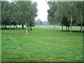
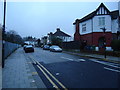
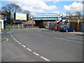
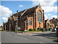
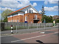
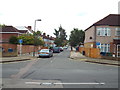

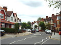
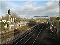
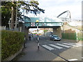
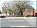
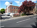
98 photos from this area
Area Information
Key information about the HA1 4QH including its size, population, and administrative classification.
- Area Type
- Postcode
- Area Size
- 4770 m²
- Population
- 1924
- Population Density
- 7316 people/km²
House Prices in HA1 4QH
17
Properties
£362,704
Average Sold Price
£110,000
Lowest Price
£877,000
Highest Price
Showing 17 properties
| Address | Type | Beds | Baths | Last Sale Price | Last Sale Date | |
|---|---|---|---|---|---|---|
| 71 Cunningham Park, North Harrow, HA1 4QH | Semi-detached | 6 | 2 | £877,000 | Jan 2023 | |
| 63 Cunningham Park, North Harrow, HA1 4QH | house | - | - | £850,000 | Jul 2021 | |
| 73 Cunningham Park, North Harrow, HA1 4QH | Maisonette | - | - | £390,000 | Jun 2021 | |
| 65 Cunningham Park, North Harrow, HA1 4QH | Maisonette | - | - | £360,000 | Oct 2018 | |
| 69 Cunningham Park, North Harrow, HA1 4QH | Flat | - | - | £274,950 | Aug 2014 | |
| 59A Cunningham Park, North Harrow, HA1 4QH | Flat | - | - | £247,500 | Oct 2013 | |
| 59 Cunningham Park, North Harrow, HA1 4QH | Maisonette | 2 | 2 | £192,500 | May 2013 | |
| 61 Cunningham Park, North Harrow, HA1 4QH | Flat | - | - | £223,000 | Feb 2013 | |
| 61A Cunningham Park, North Harrow, HA1 4QH | house | - | - | £250,000 | Apr 2008 | |
| 69A Cunningham Park, North Harrow, HA1 4QH | Flat | - | - | £160,000 | Mar 2004 |
Page 1 of 2
Energy Efficiency in HA1 4QH
Amenities
Schools
| Rank | School | Type | Entry gender | Ages |
|---|
Explore more schools in this area
Go to Schools tabDemographics
Household Size
Family (3-5 people)
most common
Accommodation Type
Flats
most common
Tenure
63
majority
Ethnic Group
White
most common
Religion
N/A
most common
Household Composition
N/A
most common
Age
47
median
Adults (30-64 years)
most common
Household Deprivation
N/A
with no deprivation
NS-SEC
44
in Lower managerial occupations
Explore more demographic insights in this area
Go to Demographics tabPlanning
Planning Constraints
- Flood RiskPremium
- Ramsar Wetland SitesPremium
- Area of Outstanding Natural BeautyPremium
- Protected Nature ReservePremium
- Protected WoodlandPremium