Area Overview for HA1 4JW
Photos of HA1 4JW
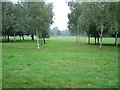
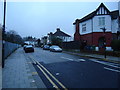
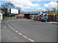
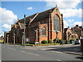
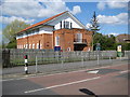
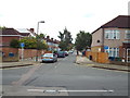
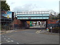
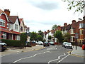
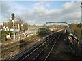
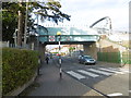
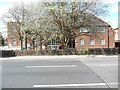
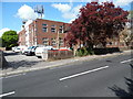
98 photos from this area
Area Information
Key information about the HA1 4JW including its size, population, and administrative classification.
- Area Type
- Postcode
- Area Size
- 7047 m²
- Population
- 2475
- Population Density
- 8179 people/km²
House Prices in HA1 4JW
30
Properties
£344,660
Average Sold Price
£79,000
Lowest Price
£630,000
Highest Price
Showing 30 properties
| Address | Type | Beds | Baths | Last Sale Price | Last Sale Date | |
|---|---|---|---|---|---|---|
| 4 Rutland Road, North Harrow, HA1 4JW | Terraced | 3 | 1 | £585,000 | Dec 2025 | |
| 10 Rutland Road, North Harrow, HA1 4JW | Terraced | 3 | 2 | £625,000 | Sep 2023 | |
| 26 Rutland Road, North Harrow, HA1 4JW | Flat | 3 | - | £499,000 | May 2023 | |
| 12 Rutland Road, North Harrow, HA1 4JW | Terraced | 3 | 1 | £480,000 | Apr 2023 | |
| 32 Rutland Road, North Harrow, HA1 4JW | house | - | - | £630,000 | May 2021 | |
| 22 Rutland Road, North Harrow, HA1 4JW | Terraced | 4 | 2 | £578,000 | Aug 2020 | |
| 24 Rutland Road, North Harrow, HA1 4JW | Terraced | 4 | 2 | £569,950 | Sep 2019 | |
| 34 Rutland Road, North Harrow, HA1 4JW | Terraced | 3 | 1 | £410,000 | Apr 2019 | |
| 56A Rutland Road, North Harrow, HA1 4JW | Flat | - | - | £210,000 | Aug 2014 | |
| 54 Rutland Road, North Harrow, HA1 4JW | house | 3 | - | £320,000 | Aug 2011 |
Page 1 of 3
Energy Efficiency in HA1 4JW
Amenities
Schools
| Rank | School | Type | Entry gender | Ages |
|---|
Explore more schools in this area
Go to Schools tabDemographics
Household Size
Family (3-5 people)
most common
Accommodation Type
Flats
most common
Tenure
42
majority
Ethnic Group
asian_total
most common
Religion
N/A
most common
Household Composition
N/A
most common
Age
47
median
Adults (30-64 years)
most common
Household Deprivation
N/A
with no deprivation
NS-SEC
37
in Lower managerial occupations
Explore more demographic insights in this area
Go to Demographics tabPlanning
Planning Constraints
- Flood RiskPremium
- Ramsar Wetland SitesPremium
- Area of Outstanding Natural BeautyPremium
- Protected Nature ReservePremium
- Protected WoodlandPremium