Area Overview for HA1 4EH
Photos of HA1 4EH
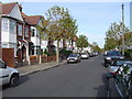
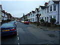
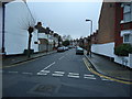
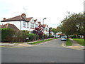
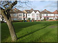
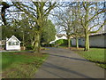
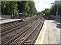
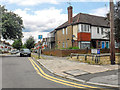
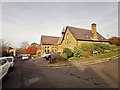
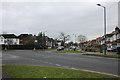
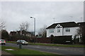
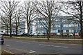
61 photos from this area
Area Information
Key information about the HA1 4EH including its size, population, and administrative classification.
- Area Type
- Postcode
- Area Size
- 7871 m²
- Population
- 2114
- Population Density
- 14691 people/km²
House Prices in HA1 4EH
37
Properties
£442,050
Average Sold Price
£55,000
Lowest Price
£940,000
Highest Price
Showing 37 properties
| Address | Type | Beds | Baths | Last Sale Price | Last Sale Date | |
|---|---|---|---|---|---|---|
| 6A Butler Avenue, West Harrow, HA1 4EH | Detached | 4 | - | £367,500 | Apr 2024 | |
| 34 Butler Avenue, West Harrow, HA1 4EH | Terraced | 4 | - | £700,000 | Dec 2021 | |
| 10A Butler Avenue, West Harrow, HA1 4EH | Flat | 2 | 1 | £375,000 | May 2019 | |
| 24 Butler Avenue, West Harrow, HA1 4EH | Terraced | 4 | 2 | £715,000 | Oct 2018 | |
| 26 Butler Avenue, West Harrow, HA1 4EH | Terraced | 4 | 2 | £651,750 | Oct 2017 | |
| 22 Butler Avenue, West Harrow, HA1 4EH | Detached | 4 | 2 | £940,000 | Aug 2017 | |
| 30 Butler Avenue, West Harrow, HA1 4EH | house | - | - | £500,000 | Mar 2016 | |
| 38 Butler Avenue, West Harrow, HA1 4EH | Terraced | 4 | - | £500,000 | May 2014 | |
| 8 Butler Avenue, West Harrow, HA1 4EH | Detached | 4 | 2 | £570,000 | Jan 2010 | |
| 28 Butler Avenue, West Harrow, HA1 4EH | house | - | - | £415,000 | Jul 2009 |
Page 1 of 4
Energy Efficiency in HA1 4EH
Amenities
Schools
| Rank | School | Type | Entry gender | Ages |
|---|
Explore more schools in this area
Go to Schools tabDemographics
Household Size
One person
most common
Accommodation Type
Flats
most common
Tenure
44
majority
Ethnic Group
White
most common
Religion
N/A
most common
Household Composition
N/A
most common
Age
47
median
Adults (30-64 years)
most common
Household Deprivation
N/A
with no deprivation
NS-SEC
33
in Lower managerial occupations
Explore more demographic insights in this area
Go to Demographics tabPlanning
Planning Constraints
- Flood RiskPremium
- Ramsar Wetland SitesPremium
- Area of Outstanding Natural BeautyPremium
- Protected Nature ReservePremium
- Protected WoodlandPremium