Area Overview for HA1 4AW
Photos of HA1 4AW
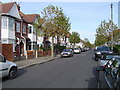
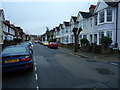
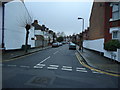
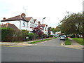
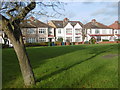
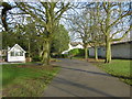
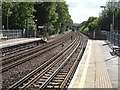
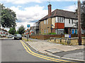
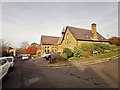
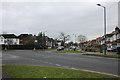
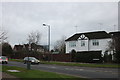
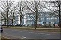
61 photos from this area
Area Information
Key information about the HA1 4AW including its size, population, and administrative classification.
- Area Type
- Postcode
- Area Size
- 1.2 hectares
- Population
- 1957
- Population Density
- 11621 people/km²
House Prices in HA1 4AW
27
Properties
£310,561
Average Sold Price
£172,000
Lowest Price
£630,100
Highest Price
Showing 27 properties
| Address | Type | Beds | Baths | Last Sale Price | Last Sale Date | |
|---|---|---|---|---|---|---|
| 46 Lascelles Avenue, West Harrow, HA1 4AW | Semi-detached | 3 | 1 | £630,100 | Jul 2022 | |
| 15 Lascelles Avenue, West Harrow, HA1 4AW | Semi-detached | 3 | 1 | £500,000 | Dec 2019 | |
| 31 Lascelles Avenue, West Harrow, HA1 4AW | Semi-detached | - | - | £249,950 | Feb 2008 | |
| 17 Lascelles Avenue, West Harrow, HA1 4AW | house | 5 | 1 | £320,000 | Oct 2007 | |
| 44B Lascelles Avenue, West Harrow, HA1 4AW | Maisonette | - | - | £172,000 | Mar 2006 | |
| 44A Lascelles Avenue, West Harrow, HA1 4AW | Flat | - | - | £248,000 | Jun 2005 | |
| 19 Lascelles Avenue, West Harrow, HA1 4AW | house | - | - | £229,000 | Jan 2004 | |
| 33 Lascelles Avenue, West Harrow, HA1 4AW | Semi-detached | - | - | £235,000 | Jul 2003 | |
| 37 Lascelles Avenue, West Harrow, HA1 4AW | Semi-detached | - | - | £211,000 | Nov 2002 | |
| 48 Lascelles Avenue, West Harrow, HA1 4AW | Semi-detached | 3 | 1 | - | - |
Page 1 of 3
Energy Efficiency in HA1 4AW
Amenities
Schools
| Rank | School | Type | Entry gender | Ages |
|---|
Explore more schools in this area
Go to Schools tabDemographics
Household Size
Family (3-5 people)
most common
Accommodation Type
Houses
most common
Tenure
54
majority
Ethnic Group
White
most common
Religion
N/A
most common
Household Composition
N/A
most common
Age
47
median
Adults (30-64 years)
most common
Household Deprivation
N/A
with no deprivation
NS-SEC
35
in Lower managerial occupations
Explore more demographic insights in this area
Go to Demographics tabPlanning
Planning Constraints
- Flood RiskPremium
- Ramsar Wetland SitesPremium
- Area of Outstanding Natural BeautyPremium
- Protected Nature ReservePremium
- Protected WoodlandPremium