Area Overview for HA1 3SU
Photos of HA1 3SU
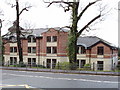
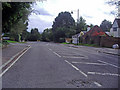
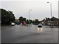
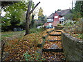
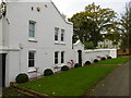
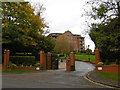
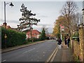
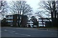
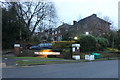
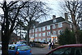
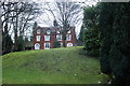
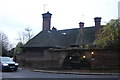
35 photos from this area
Area Information
Key information about the HA1 3SU including its size, population, and administrative classification.
- Area Type
- Postcode
- Area Size
- 1.3 hectares
- Population
- 1507
- Population Density
- 4824 people/km²
House Prices in HA1 3SU
19
Properties
£718,875
Average Sold Price
£236,000
Lowest Price
£1,800,000
Highest Price
Showing 19 properties
| Address | Type | Beds | Baths | Last Sale Price | Last Sale Date | |
|---|---|---|---|---|---|---|
| 24 Littleton Road, Harrow, HA1 3SU | house | - | - | £1,200,000 | Jun 2021 | |
| 34 Littleton Road, Harrow, HA1 3SU | house | - | - | £1,800,000 | Jun 2021 | |
| 20 Littleton Road, Harrow, HA1 3SU | Detached | 4 | - | £970,000 | Sep 2018 | |
| 2 Littleton Road, Harrow, HA1 3SU | Detached | 4 | - | £1,100,000 | Jul 2018 | |
| 14 Littleton Road, Harrow, HA1 3SU | Detached | 4 | 2 | £960,000 | Apr 2018 | |
| 18 Littleton Road, Harrow, HA1 3SU | Detached | 3 | 1 | £860,000 | Dec 2015 | |
| 30 Littleton Road, Harrow, HA1 3SU | Detached | 5 | 2 | £740,000 | Jan 2014 | |
| 16 Littleton Road, Harrow, HA1 3SU | Flat | - | 1 | £610,000 | Feb 2004 | |
| 22 Littleton Road, Harrow, HA1 3SU | Detached | - | - | £465,000 | Dec 2003 | |
| 4 Littleton Road, Harrow, HA1 3SU | Detached | - | - | £457,500 | Oct 2003 |
Page 1 of 2
Energy Efficiency in HA1 3SU
Amenities
Schools
| Rank | School | Type | Entry gender | Ages |
|---|
Explore more schools in this area
Go to Schools tabDemographics
Household Size
Family (3-5 people)
most common
Accommodation Type
Houses
most common
Tenure
77
majority
Ethnic Group
asian_total
most common
Religion
N/A
most common
Household Composition
N/A
most common
Age
47
median
Adults (30-64 years)
most common
Household Deprivation
N/A
with no deprivation
NS-SEC
38
in Lower managerial occupations
Explore more demographic insights in this area
Go to Demographics tabPlanning
Planning Constraints
- Flood RiskPremium
- Ramsar Wetland SitesPremium
- Area of Outstanding Natural BeautyPremium
- Protected Nature ReservePremium
- Protected WoodlandPremium