Area Overview for HA1 3DB
Photos of HA1 3DB
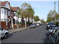
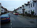
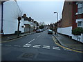
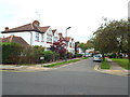
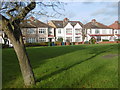
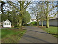
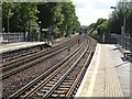
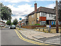
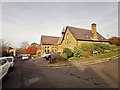
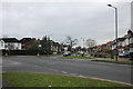
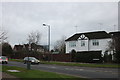
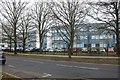
61 photos from this area
Area Information
Key information about the HA1 3DB including its size, population, and administrative classification.
- Area Type
- Postcode
- Area Size
- 5884 m²
- Population
- 2731
- Population Density
- 6655 people/km²
House Prices in HA1 3DB
29
Properties
£498,286
Average Sold Price
£213,000
Lowest Price
£875,000
Highest Price
Showing 29 properties
| Address | Type | Beds | Baths | Last Sale Price | Last Sale Date | |
|---|---|---|---|---|---|---|
| 85 Bessborough Road, Harrow, HA1 3DB | Semi-detached | 5 | 3 | £875,000 | Sep 2023 | |
| 93 Bessborough Road, Harrow, HA1 3DB | Semi-detached | 3 | - | £800,000 | Aug 2022 | |
| 87A Bessborough Road, Harrow, HA1 3DB | Maisonette | 2 | 1 | £300,000 | Nov 2021 | |
| 83 Bessborough Road, Harrow, HA1 3DB | Semi-detached | 4 | - | £500,000 | Jun 2021 | |
| 103 Bessborough Road, Harrow, HA1 3DB | Flat | - | - | £213,000 | Jul 2016 | |
| 105 Bessborough Road, Harrow, HA1 3DB | Flat | 1 | - | £250,000 | Feb 2016 | |
| 95 Bessborough Road, Harrow, HA1 3DB | Semi-detached | 1 | 3 | £550,000 | Dec 2014 | |
| Flat 7, Ionic Apartments, 79 Bessborough Road, Harrow, HA1 3DB | Flat | 2 | 2 | - | - | |
| 81 Bessborough Road, Harrow, HA1 3DB | Semi-detached | 3 | 1 | - | - | |
| 89 Bessborough Road, Harrow, HA1 3DB | Maisonette | 2 | - | - | - |
Page 1 of 3
Energy Efficiency in HA1 3DB
Amenities
Schools
| Rank | School | Type | Entry gender | Ages |
|---|
Explore more schools in this area
Go to Schools tabDemographics
Household Size
One person
most common
Accommodation Type
Flats
most common
Tenure
32
majority
Ethnic Group
asian_total
most common
Religion
N/A
most common
Household Composition
N/A
most common
Age
47
median
Adults (30-64 years)
most common
Household Deprivation
N/A
with no deprivation
NS-SEC
45
in Lower managerial occupations
Explore more demographic insights in this area
Go to Demographics tabPlanning
Planning Constraints
- Flood RiskPremium
- Ramsar Wetland SitesPremium
- Area of Outstanding Natural BeautyPremium
- Protected Nature ReservePremium
- Protected WoodlandPremium