Area Overview for HA1 2SQ
Photos of HA1 2SQ
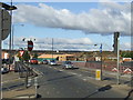
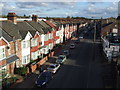
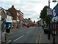
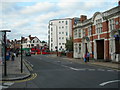
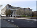
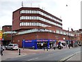
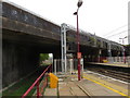
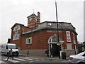
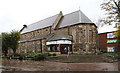
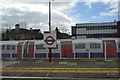
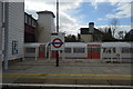
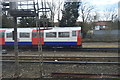
81 photos from this area
Area Information
Key information about the HA1 2SQ including its size, population, and administrative classification.
- Area Type
- Postcode
- Area Size
- 1.3 hectares
- Population
- 2908
- Population Density
- 8757 people/km²
House Prices in HA1 2SQ
69
Properties
£247,750
Average Sold Price
£76,000
Lowest Price
£340,000
Highest Price
Showing 69 properties
| Address | Type | Beds | Baths | Last Sale Price | Last Sale Date | |
|---|---|---|---|---|---|---|
| 58B Station Road, Harrow, HA1 2SQ | Flat | 1 | 1 | £340,000 | Sep 2022 | |
| 42 Station Road, Harrow, HA1 2SQ | Flat | 3 | 1 | £300,000 | Jul 2015 | |
| 42A Station Road, Harrow, HA1 2SQ | Flat | - | 1 | £275,000 | Jun 2010 | |
| 60 Station Road, Harrow, HA1 2SQ | Flat | 3 | 1 | £76,000 | Jun 1999 | |
| 54C Station Road, Harrow, HA1 2SQ | Flat | 1 | 1 | - | - | |
| 62 Station Road, Harrow, HA1 2SQ | Flat | - | - | - | - | |
| 62A Station Road, Harrow, HA1 2SQ | Flat | - | - | - | - | |
| 46 Station Road, Harrow, HA1 2SQ | Flat | - | - | - | - | |
| 54B Station Road, Harrow, HA1 2SQ | Flat | - | - | - | - | |
| 54A Station Road, Harrow, HA1 2SQ | Flat | - | - | - | - |
Page 1 of 7
Energy Efficiency in HA1 2SQ
Amenities
Schools
| Rank | School | Type | Entry gender | Ages |
|---|
Explore more schools in this area
Go to Schools tabDemographics
Household Size
Family (3-5 people)
most common
Accommodation Type
Flats
most common
Tenure
27
majority
Ethnic Group
White
most common
Religion
N/A
most common
Household Composition
N/A
most common
Age
47
median
Adults (30-64 years)
most common
Household Deprivation
N/A
with no deprivation
NS-SEC
28
in Lower managerial occupations
Explore more demographic insights in this area
Go to Demographics tabPlanning
Planning Constraints
- Flood RiskPremium
- Ramsar Wetland SitesPremium
- Area of Outstanding Natural BeautyPremium
- Protected Nature ReservePremium
- Protected WoodlandPremium