Area Overview for HA1 2PG
Photos of HA1 2PG
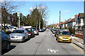
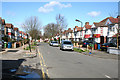
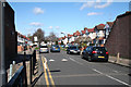
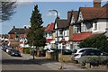
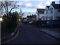
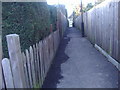
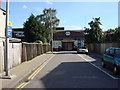
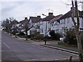
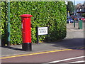

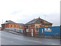
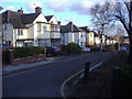
85 photos from this area
Area Information
Key information about the HA1 2PG including its size, population, and administrative classification.
- Area Type
- Postcode
- Area Size
- 4631 m²
- Population
- 1711
- Population Density
- 10408 people/km²
House Prices in HA1 2PG
15
Properties
£421,536
Average Sold Price
£106,000
Lowest Price
£660,000
Highest Price
Showing 15 properties
| Address | Type | Beds | Baths | Last Sale Price | Last Sale Date | |
|---|---|---|---|---|---|---|
| 79 Manor Road, Harrow, HA1 2PG | Semi-detached | 2 | 2 | £660,000 | May 2025 | |
| 95 Manor Road, Harrow, HA1 2PG | Detached | 3 | 1 | £500,000 | Mar 2025 | |
| 93 Manor Road, Harrow, HA1 2PG | Semi-detached | 3 | 1 | £610,000 | May 2024 | |
| 101 Manor Road, Harrow, HA1 2PG | house | - | - | £600,000 | Oct 2022 | |
| 87 Manor Road, Harrow, HA1 2PG | Semi-detached | 4 | - | £567,500 | Dec 2014 | |
| 97 Manor Road, Harrow, HA1 2PG | house | 3 | - | £340,500 | Jun 2011 | |
| 85 Manor Road, Harrow, HA1 2PG | Maisonette | 2 | 2 | £325,000 | May 2010 | |
| 83 Manor Road, Harrow, HA1 2PG | Terraced | - | - | £334,950 | Oct 2007 | |
| 75 Manor Road, Harrow, HA1 2PG | Semi-detached | 3 | 1 | £325,000 | May 2007 | |
| 99 Manor Road, Harrow, HA1 2PG | Semi-detached | - | - | £267,950 | Mar 2003 |
Page 1 of 2
Energy Efficiency in HA1 2PG
Amenities
Schools
| Rank | School | Type | Entry gender | Ages |
|---|
Explore more schools in this area
Go to Schools tabDemographics
Household Size
Family (3-5 people)
most common
Accommodation Type
Houses
most common
Tenure
41
majority
Ethnic Group
White
most common
Religion
N/A
most common
Household Composition
N/A
most common
Age
47
median
Adults (30-64 years)
most common
Household Deprivation
N/A
with no deprivation
NS-SEC
28
in Lower managerial occupations
Explore more demographic insights in this area
Go to Demographics tabPlanning
Planning Constraints
- Flood RiskPremium
- Ramsar Wetland SitesPremium
- Area of Outstanding Natural BeautyPremium
- Protected Nature ReservePremium
- Protected WoodlandPremium