Area Overview for HA0 4LH
Photos of HA0 4LH
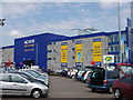
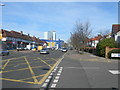
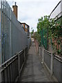
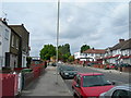
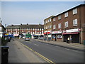
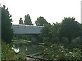
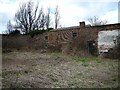
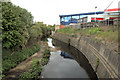
100 photos from this area
Area Information
Key information about the HA0 4LH including its size, population, and administrative classification.
- Area Type
- Postcode
- Area Size
- 2.2 hectares
- Population
- 2480
- Population Density
- 8708 people/km²
House Prices in HA0 4LH
42
Properties
£288,604
Average Sold Price
£5,000
Lowest Price
£725,000
Highest Price
Showing 42 properties
| Address | Type | Beds | Baths | Last Sale Price | Last Sale Date | |
|---|---|---|---|---|---|---|
| 54 St James Gardens, Wembley, HA0 4LH | house | - | - | £725,000 | Sep 2023 | |
| Former, 63 St James Gardens, Wembley, HA0 4LH | Detached | - | - | £5,000 | May 2023 | |
| 65 St James Gardens, Wembley, HA0 4LH | house | - | - | £565,000 | Apr 2021 | |
| 37 St James Gardens, Wembley, HA0 4LH | Semi-detached | 3 | 1 | £520,000 | Mar 2018 | |
| 19 St James Gardens, Wembley, HA0 4LH | Semi-detached | 3 | 1 | £465,000 | Jan 2016 | |
| 35 St James Gardens, Wembley, HA0 4LH | Semi-detached | 3 | 2 | £355,000 | Jul 2013 | |
| 21 St James Gardens, Wembley, HA0 4LH | Semi-detached | - | - | £250,000 | Apr 2007 | |
| 11 St James Gardens, Wembley, HA0 4LH | Semi-detached | - | - | £340,000 | Feb 2007 | |
| 62 St James Gardens, Wembley, HA0 4LH | house | 3 | - | £275,000 | Apr 2005 | |
| 29 St James Gardens, Wembley, HA0 4LH | Semi-detached | 3 | 2 | £195,000 | Sep 2004 |
Page 1 of 5
Energy Efficiency in HA0 4LH
Amenities
Schools
| Rank | School | Type | Entry gender | Ages |
|---|
Explore more schools in this area
Go to Schools tabDemographics
Household Size
Family (3-5 people)
most common
Accommodation Type
Houses
most common
Tenure
55
majority
Ethnic Group
asian_total
most common
Religion
N/A
most common
Household Composition
N/A
most common
Age
47
median
Adults (30-64 years)
most common
Household Deprivation
N/A
with no deprivation
NS-SEC
17
in Lower managerial occupations
Explore more demographic insights in this area
Go to Demographics tabPlanning
Planning Constraints
- Flood RiskPremium
- Ramsar Wetland SitesPremium
- Area of Outstanding Natural BeautyPremium
- Protected Nature ReservePremium
- Protected WoodlandPremium