Area Overview for HA0 3SJ
Photos of HA0 3SJ
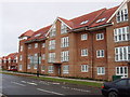
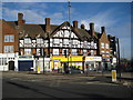
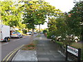
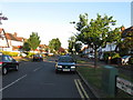
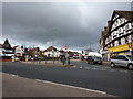
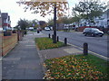
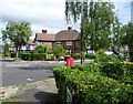
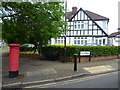
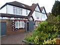
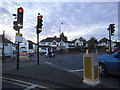
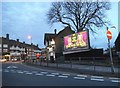
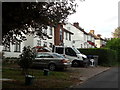
38 photos from this area
Area Information
Key information about the HA0 3SJ including its size, population, and administrative classification.
- Area Type
- Postcode
- Area Size
- 1.2 hectares
- Population
- 1456
- Population Density
- 3864 people/km²
House Prices in HA0 3SJ
26
Properties
£333,411
Average Sold Price
£173,000
Lowest Price
£765,000
Highest Price
Showing 26 properties
| Address | Type | Beds | Baths | Last Sale Price | Last Sale Date | |
|---|---|---|---|---|---|---|
| 108 Abbotts Drive, Wembley, HA0 3SJ | Semi-detached | 3 | - | £765,000 | Apr 2017 | |
| 138 Abbotts Drive, Wembley, HA0 3SJ | house | - | - | £500,000 | Mar 2016 | |
| 128 Abbotts Drive, Wembley, HA0 3SJ | house | - | - | £267,399 | Mar 2016 | |
| 130 Abbotts Drive, Wembley, HA0 3SJ | Semi-detached | 5 | 2 | £224,352 | Mar 2016 | |
| 120 Abbotts Drive, Wembley, HA0 3SJ | Semi-detached | 3 | - | £449,500 | Feb 2015 | |
| 118 Abbotts Drive, Wembley, HA0 3SJ | house | 3 | - | £358,000 | Jan 2013 | |
| 154 Abbotts Drive, Wembley, HA0 3SJ | Detached | 3 | 1 | £300,000 | Nov 2008 | |
| 122 Abbotts Drive, Wembley, HA0 3SJ | Semi-detached | - | - | £350,000 | Dec 2006 | |
| 134 Abbotts Drive, Wembley, HA0 3SJ | house | - | - | £310,000 | Aug 2006 | |
| 148 Abbotts Drive, Wembley, HA0 3SJ | Semi-detached | 3 | 1 | £280,000 | Apr 2006 |
Page 1 of 3
Energy Efficiency in HA0 3SJ
Amenities
Schools
| Rank | School | Type | Entry gender | Ages |
|---|
Explore more schools in this area
Go to Schools tabDemographics
Household Size
Family (3-5 people)
most common
Accommodation Type
Houses
most common
Tenure
83
majority
Ethnic Group
asian_total
most common
Religion
N/A
most common
Household Composition
N/A
most common
Age
47
median
Adults (30-64 years)
most common
Household Deprivation
N/A
with no deprivation
NS-SEC
38
in Lower managerial occupations
Explore more demographic insights in this area
Go to Demographics tabPlanning
Planning Constraints
- Flood RiskPremium
- Ramsar Wetland SitesPremium
- Area of Outstanding Natural BeautyPremium
- Protected Nature ReservePremium
- Protected WoodlandPremium