Area Overview for HA0 3SE
Photos of HA0 3SE
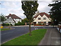
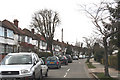
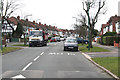
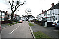
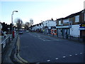
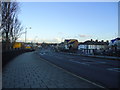
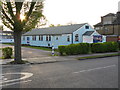
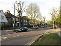
60 photos from this area
Area Information
Key information about the HA0 3SE including its size, population, and administrative classification.
- Area Type
- Postcode
- Area Size
- 1.2 hectares
- Population
- 1456
- Population Density
- 3864 people/km²
House Prices in HA0 3SE
28
Properties
£334,323
Average Sold Price
£94,500
Lowest Price
£730,000
Highest Price
Showing 28 properties
| Address | Type | Beds | Baths | Last Sale Price | Last Sale Date | |
|---|---|---|---|---|---|---|
| 21 Spencer Road, Wembley, HA0 3SE | house | - | - | £620,000 | Feb 2023 | |
| 53 Spencer Road, Wembley, HA0 3SE | Semi-detached | 6 | 1 | £725,000 | Oct 2020 | |
| 7 Spencer Road, Wembley, HA0 3SE | house | - | - | £553,000 | Sep 2020 | |
| 3 Spencer Road, Wembley, HA0 3SE | Semi-detached | 3 | - | £730,000 | Oct 2019 | |
| 13 Spencer Road, Wembley, HA0 3SE | Semi-detached | 3 | 1 | £550,000 | Dec 2018 | |
| 31 Spencer Road, Wembley, HA0 3SE | Semi-detached | 3 | 1 | £395,000 | Dec 2014 | |
| 33 Spencer Road, Wembley, HA0 3SE | house | - | - | £360,000 | Sep 2012 | |
| 27 Spencer Road, Wembley, HA0 3SE | Semi-detached | - | - | £272,000 | May 2009 | |
| 9 Spencer Road, Wembley, HA0 3SE | Semi-detached | - | - | £335,000 | May 2006 | |
| 29 Spencer Road, Wembley, HA0 3SE | house | - | - | £296,000 | Jan 2006 |
Page 1 of 3
Energy Efficiency in HA0 3SE
Amenities
Schools
| Rank | School | Type | Entry gender | Ages |
|---|
Explore more schools in this area
Go to Schools tabDemographics
Household Size
Family (3-5 people)
most common
Accommodation Type
Houses
most common
Tenure
83
majority
Ethnic Group
asian_total
most common
Religion
N/A
most common
Household Composition
N/A
most common
Age
47
median
Adults (30-64 years)
most common
Household Deprivation
N/A
with no deprivation
NS-SEC
38
in Lower managerial occupations
Explore more demographic insights in this area
Go to Demographics tabPlanning
Planning Constraints
- Flood RiskPremium
- Ramsar Wetland SitesPremium
- Area of Outstanding Natural BeautyPremium
- Protected Nature ReservePremium
- Protected WoodlandPremium