Area Overview for Ealing
Photos of Ealing
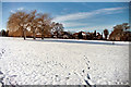
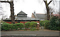
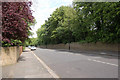
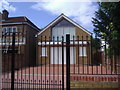
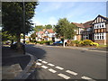
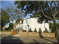
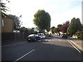
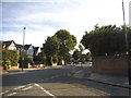
81 photos from this area
Area Information
Key information about the Ealing including its size, population, and administrative classification.
- Area Type
- Built Up Area 250
- Area Size
- 44.9 km²
- Population
- 136834
- Population Density
- 3045 people/km²
Amenities
Schools
| Rank | A + A* % | School | Type | Entry gender | Ages |
|---|---|---|---|---|---|
| 1 | N/A | Ysgol Gymraeg Llundain, London Welsh School | independent | N/A | N/A |
| 2 | N/A | Maples Nursery School and Children's Centre | nursery | N/A | N/A |
| 3 | N/A | Glebe Nursery School | nursery | N/A | N/A |
| 4 | N/A | Grove House Nursery School & Children's Centre | nursery | N/A | N/A |
| 5 | N/A | South Acton Childrens Centre | nursery | N/A | N/A |
Explore more schools in this area
Go to Schools tabDemographics
Household Size
total
most common
Accommodation Type
total
most common
Tenure
48
majority
Ethnic Group
total
most common
Religion
total
most common
Household Composition
total
most common
Age
70
median
Age: Total
most common
Household Deprivation
N/A
with no deprivation
NS-SEC
33
in Lower managerial occupations
Explore more demographic insights in this area
Go to Demographics tabPlanning
Planning Constraints
- Crime RiskLocked