Area Overview for Feltham North Ward
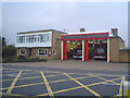
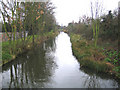
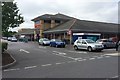
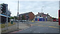
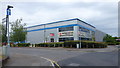
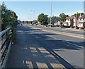
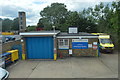
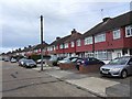
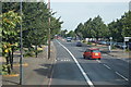
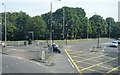
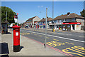
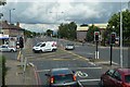
Photos of Feltham North Ward
Area Information
Feltham North Ward serves as a compact residential district within the London Borough of Hounslow. This electoral ward covers an area of just 2.4 square kilometres, making it a densely populated pocket of the wider constituency. The region falls under the Feltham and Heston parliamentary constituency and sits at a specific coordinate of approximately 51.4556°N, -0.4083°W. First used in the 1964 elections, the ward continues to elect three councillors to Hounslow London Borough Council. The population recorded in the 2021 census reached 12,906 residents, with a gender balance of 6,441 males and 6,465 females. Living in Feltham North Ward means navigating a space defined by its electoral history and its precise location within Greater London. The ward has evolved over nearly six decades, maintaining its status as a key administrative unit while accommodating a significant number of households. Understanding the layout of Feltham North Ward involves recognising its boundaries and how it functions as a distinct entity within the broader borough. The fixed nature of the ward's size and its established political representation create a stable framework for local governance and community planning. Residents here experience the daily reality of life within this specific, well-defined geographical zone.
- Area Type
- District Borough Unitary Ward
- Area Size
- 2.4 km²
- Population
- Not available
- Population Density
- Not available
Demographics
The community profile of Feltham North Ward reveals a mature population structure. The median age across the ward stands at 70, indicating a resident base composed largely of older adults. Demographic analysis shows that households are predominantly filled with residents in the total age bracket, reflecting the lack of specific age range breakdowns beyond the median figure. Home ownership rates measure 53 percent, meaning slightly more than half of the residents own their homes outright or with a mortgage. The remaining households consist of renters or shared equity holders. Data on household composition details confirm that the total number of households defines the living arrangements, though specific breakdowns into single-person or family units are not provided in the current dataset. Accommodation types similarly aggregate to a total figure without distinguishing between terraced, semi-detached, or detached properties. Regarding diversity, the predominant ethnic group and religious affiliations are listed as total categories, suggesting a broad mix rather than a single dominant identity. This demographic landscape points to a community where long-term residents make up the core, with home ownership providing stability for a significant portion of the population.
Household Size
Accommodation Type
Tenure
Ethnic Group
Religion
Household Composition
Age
Household Deprivation
NS-SEC
Explore more demographic insights in this area
Go to Demographics tabPlanning
Planning Constraints
- Flood RiskPremium
- Ramsar Wetland SitesPremium
- Area of Outstanding Natural BeautyPremium
- Protected Nature ReservePremium
- Protected WoodlandPremium
- Crime RiskPremium