Area Overview for EN8 8RA
Photos of EN8 8RA

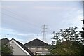
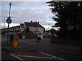
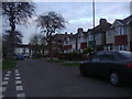
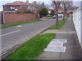
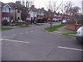
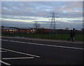
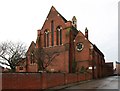
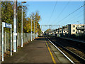
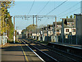
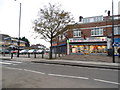
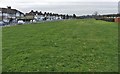
16 photos from this area
Area Information
Key information about the EN8 8RA including its size, population, and administrative classification.
- Area Type
- Postcode
- Area Size
- 5210 m²
- Population
- 1945
- Population Density
- 6934 people/km²
House Prices in EN8 8RA
18
Properties
£271,600
Average Sold Price
£66,000
Lowest Price
£413,000
Highest Price
Showing 18 properties
| Address | Type | Beds | Baths | Last Sale Price | Last Sale Date | |
|---|---|---|---|---|---|---|
| 90 Holmesdale, Enfield, EN8 8RA | house | - | - | £377,500 | Mar 2021 | |
| 100 Holmesdale, Enfield, EN8 8RA | Terraced | 4 | 1 | £413,000 | Nov 2020 | |
| 82 Holmesdale, Enfield, EN8 8RA | Semi-detached | 3 | 1 | £375,000 | Aug 2017 | |
| 88 Holmesdale, Enfield, EN8 8RA | Terraced | 4 | 1 | £340,000 | Jun 2016 | |
| 102 Holmesdale, Enfield, EN8 8RA | Terraced | 3 | 1 | £345,000 | Oct 2015 | |
| 96 Holmesdale, Enfield, EN8 8RA | house | - | - | £295,000 | May 2015 | |
| 86 Holmesdale, Enfield, EN8 8RA | Terraced | 3 | 1 | £270,000 | Oct 2014 | |
| 98 Holmesdale, Enfield, EN8 8RA | Terraced | 4 | - | £315,000 | Oct 2014 | |
| 78 Holmesdale, Enfield, EN8 8RA | house | 3 | - | £215,000 | Feb 2012 | |
| 94 Holmesdale, Enfield, EN8 8RA | house | - | - | £220,000 | Aug 2009 |
Page 1 of 2
Energy Efficiency in EN8 8RA
Amenities
Schools
| Rank | School | Type | Entry gender | Ages |
|---|
Explore more schools in this area
Go to Schools tabDemographics
Household Size
Family (3-5 people)
most common
Accommodation Type
Houses
most common
Tenure
62
majority
Ethnic Group
White
most common
Religion
N/A
most common
Household Composition
N/A
most common
Age
47
median
Adults (30-64 years)
most common
Household Deprivation
N/A
with no deprivation
NS-SEC
22
in Lower managerial occupations
Explore more demographic insights in this area
Go to Demographics tabPlanning
Planning Constraints
- Flood RiskPremium
- Ramsar Wetland SitesPremium
- Area of Outstanding Natural BeautyPremium
- Protected Nature ReservePremium
- Protected WoodlandPremium