Area Overview for EN5 5TS
Photos of EN5 5TS
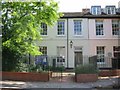
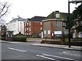
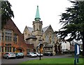
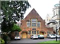
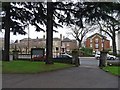
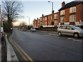
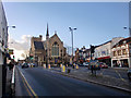
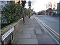
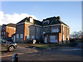
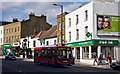
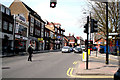
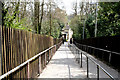
100 photos from this area
Area Information
Key information about the EN5 5TS including its size, population, and administrative classification.
- Area Type
- Postcode
- Area Size
- 2.0 hectares
- Population
- Not available
- Population Density
- Not available
House Prices in EN5 5TS
38
Properties
£440,469
Average Sold Price
£117,500
Lowest Price
£715,000
Highest Price
Showing 38 properties
| Address | Type | Beds | Baths | Last Sale Price | Last Sale Date | |
|---|---|---|---|---|---|---|
| 34 Moxon Street, Barnet, EN5 5TS | Terraced | 2 | 1 | £540,000 | Sep 2025 | |
| 48 Moxon Street, Barnet, EN5 5TS | Terraced | 5 | 4 | £518,000 | Jan 2025 | |
| 28 Moxon Street, Barnet, EN5 5TS | Terraced | 3 | 2 | £715,000 | Jan 2023 | |
| 40 Moxon Street, Barnet, EN5 5TS | Detached | 3 | 3 | £675,000 | Oct 2022 | |
| 22 Moxon Street, Barnet, EN5 5TS | Terraced | 3 | 2 | £650,000 | Aug 2022 | |
| 30 Moxon Street, Barnet, EN5 5TS | Terraced | 1 | 1 | £670,000 | Dec 2020 | |
| 15 Moxon Street, Barnet, EN5 5TS | house | 3 | 2 | £470,000 | Dec 2020 | |
| 19 Moxon Street, Barnet, EN5 5TS | Detached | 3 | - | £620,000 | Oct 2017 | |
| 16 Moxon Street, Barnet, EN5 5TS | Semi-detached | 2 | 2 | £495,000 | Mar 2016 | |
| 36 Moxon Street, Barnet, EN5 5TS | house | 2 | - | £270,000 | Jan 2012 |
Page 1 of 4
Energy Efficiency in EN5 5TS
Amenities
Schools
| Rank | School | Type | Entry gender | Ages |
|---|
Explore more schools in this area
Go to Schools tabDemographics
Household Size
One person
most common
Accommodation Type
Flats
most common
Tenure
50
majority
Ethnic Group
White
most common
Religion
N/A
most common
Household Composition
N/A
most common
Age
47
median
Adults (30-64 years)
most common
Household Deprivation
N/A
with no deprivation
NS-SEC
44
in Lower managerial occupations
Explore more demographic insights in this area
Go to Demographics tabPlanning
Planning Constraints
- Flood RiskPremium
- Ramsar Wetland SitesPremium
- Area of Outstanding Natural BeautyPremium
- Protected Nature ReservePremium
- Protected WoodlandPremium