Area Overview for EN5 5JT
Photos of EN5 5JT
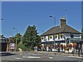
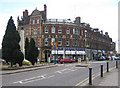

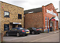

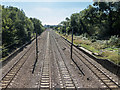
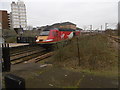
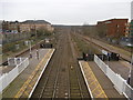
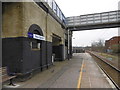
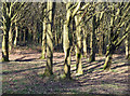
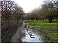
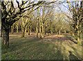
100 photos from this area
Area Information
Key information about the EN5 5JT including its size, population, and administrative classification.
- Area Type
- Postcode
- Area Size
- 3.3 hectares
- Population
- 1520
- Population Density
- 1412 people/km²
House Prices in EN5 5JT
48
Properties
£190,988
Average Sold Price
£30,000
Lowest Price
£325,000
Highest Price
Showing 48 properties
| Address | Type | Beds | Baths | Last Sale Price | Last Sale Date | |
|---|---|---|---|---|---|---|
| 21 Galdana Avenue, New Barnet, Barnet, EN5 5JT | Flat | 2 | 1 | £325,000 | Jun 2025 | |
| 31 Galdana Avenue, New Barnet, Barnet, EN5 5JT | Flat | 2 | 1 | £206,406 | Mar 2025 | |
| 95 Galdana Avenue, New Barnet, Barnet, EN5 5JT | Flat | - | 1 | £185,000 | Apr 2024 | |
| 69 Galdana Avenue, New Barnet, Barnet, EN5 5JT | Flat | 2 | 1 | £200,000 | Jan 2023 | |
| 57 Galdana Avenue, New Barnet, Barnet, EN5 5JT | Flat | 2 | 1 | £290,000 | Jan 2023 | |
| 55 Galdana Avenue, New Barnet, Barnet, EN5 5JT | Flat | - | - | £320,000 | Nov 2022 | |
| 45 Galdana Avenue, New Barnet, Barnet, EN5 5JT | Flat | - | - | £290,000 | May 2022 | |
| 15 Galdana Avenue, New Barnet, Barnet, EN5 5JT | Flat | - | - | £310,000 | Jun 2021 | |
| 91 Galdana Avenue, New Barnet, Barnet, EN5 5JT | Flat | - | - | £173,000 | Feb 2021 | |
| 51 Galdana Avenue, New Barnet, Barnet, EN5 5JT | Flat | 2 | 1 | £308,000 | Sep 2020 |
Page 1 of 5
Energy Efficiency in EN5 5JT
Amenities
Schools
| Rank | School | Type | Entry gender | Ages |
|---|
Explore more schools in this area
Go to Schools tabDemographics
Household Size
Family (3-5 people)
most common
Accommodation Type
Houses
most common
Tenure
81
majority
Ethnic Group
White
most common
Religion
N/A
most common
Household Composition
N/A
most common
Age
47
median
Adults (30-64 years)
most common
Household Deprivation
N/A
with no deprivation
NS-SEC
53
in Lower managerial occupations
Explore more demographic insights in this area
Go to Demographics tabPlanning
Planning Constraints
- Flood RiskPremium
- Ramsar Wetland SitesPremium
- Area of Outstanding Natural BeautyPremium
- Protected Nature ReservePremium
- Protected WoodlandPremium