Area Overview for EN5 2HX
Photos of EN5 2HX
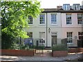
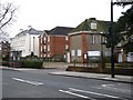
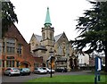
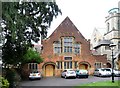
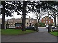
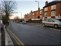
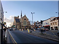
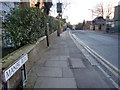
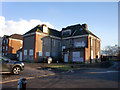
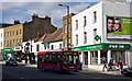
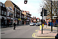
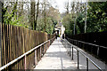
100 photos from this area
Area Information
Key information about the EN5 2HX including its size, population, and administrative classification.
- Area Type
- Postcode
- Area Size
- 1.1 hectares
- Population
- Not available
- Population Density
- Not available
House Prices in EN5 2HX
34
Properties
£608,156
Average Sold Price
£260,000
Lowest Price
£1,160,000
Highest Price
Showing 34 properties
| Address | Type | Beds | Baths | Last Sale Price | Last Sale Date | |
|---|---|---|---|---|---|---|
| 37 Normandy Avenue, Barnet, EN5 2HX | Semi-detached | 4 | 2 | £1,100,000 | Mar 2023 | |
| 51 Normandy Avenue, Barnet, EN5 2HX | Detached | 4 | 3 | £1,160,000 | Jul 2022 | |
| 69 Normandy Avenue, Barnet, EN5 2HX | house | - | - | £810,000 | Sep 2021 | |
| 83 Normandy Avenue, Barnet, EN5 2HX | Terraced | 3 | 1 | £745,000 | Jan 2021 | |
| 55 Normandy Avenue, Barnet, EN5 2HX | Detached | 5 | 3 | £1,050,000 | Aug 2020 | |
| 87D Normandy Avenue, Barnet, EN5 2HX | Flat | - | - | £260,000 | Jul 2015 | |
| 53 Normandy Avenue, Barnet, EN5 2HX | Detached | 4 | 2 | £846,000 | Sep 2014 | |
| 35 Normandy Avenue, Barnet, EN5 2HX | house | 4 | - | £723,000 | Aug 2012 | |
| 85A Normandy Avenue, Barnet, EN5 2HX | Detached | 4 | - | £430,000 | Jul 2010 | |
| 57 Normandy Avenue, Barnet, EN5 2HX | Detached | - | - | £395,000 | Aug 2008 |
Page 1 of 4
Energy Efficiency in EN5 2HX
Amenities
Schools
| Rank | School | Type | Entry gender | Ages |
|---|
Explore more schools in this area
Go to Schools tabDemographics
Household Size
Family (3-5 people)
most common
Accommodation Type
Houses
most common
Tenure
72
majority
Ethnic Group
White
most common
Religion
N/A
most common
Household Composition
N/A
most common
Age
47
median
Adults (30-64 years)
most common
Household Deprivation
N/A
with no deprivation
NS-SEC
52
in Lower managerial occupations
Explore more demographic insights in this area
Go to Demographics tabPlanning
Planning Constraints
- Flood RiskPremium
- Ramsar Wetland SitesPremium
- Area of Outstanding Natural BeautyPremium
- Protected Nature ReservePremium
- Protected WoodlandPremium