Area Overview for EN4 9QN
Photos of EN4 9QN
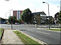
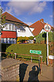
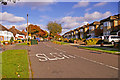
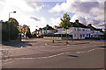
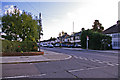
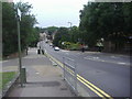
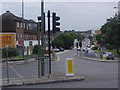
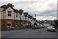
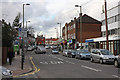
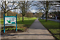
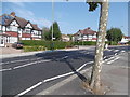
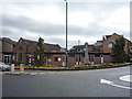
40 photos from this area
Area Information
Key information about the EN4 9QN including its size, population, and administrative classification.
- Area Type
- Postcode
- Area Size
- 3.4 hectares
- Population
- 1906
- Population Density
- 6428 people/km²
House Prices in EN4 9QN
30
Properties
£867,045
Average Sold Price
£90,000
Lowest Price
£1,375,000
Highest Price
Showing 30 properties
| Address | Type | Beds | Baths | Last Sale Price | Last Sale Date | |
|---|---|---|---|---|---|---|
| 127 Park Road, New Barnet, Barnet, EN4 9QN | Bungalow | - | - | £875,000 | Jul 2023 | |
| 130 Park Road, New Barnet, Barnet, EN4 9QN | Detached | 3 | 2 | £837,500 | Jul 2020 | |
| 140 Park Road, New Barnet, Barnet, EN4 9QN | Detached | 6 | 4 | £1,375,000 | Aug 2019 | |
| 119A Park Road, New Barnet, Barnet, EN4 9QN | Detached | 4 | 1 | £775,000 | Mar 2018 | |
| 138 Park Road, New Barnet, Barnet, EN4 9QN | Detached | 5 | 2 | £1,205,000 | Jan 2015 | |
| 126 Park Road, New Barnet, Barnet, EN4 9QN | Detached | 2 | 1 | £1,250,000 | Oct 2014 | |
| 129 Park Road, New Barnet, Barnet, EN4 9QN | Detached | - | - | £630,000 | Oct 2008 | |
| 132 Park Road, New Barnet, Barnet, EN4 9QN | Detached | - | - | £900,000 | Aug 2007 | |
| 124 Park Road, New Barnet, Barnet, EN4 9QN | Detached | 6 | 4 | £800,000 | Feb 2005 | |
| 136 Park Road, New Barnet, Barnet, EN4 9QN | Detached | - | - | £800,000 | Jan 2005 |
Page 1 of 3
Energy Efficiency in EN4 9QN
Amenities
Schools
| Rank | School | Type | Entry gender | Ages |
|---|
Explore more schools in this area
Go to Schools tabDemographics
Household Size
Family (3-5 people)
most common
Accommodation Type
Houses
most common
Tenure
56
majority
Ethnic Group
White
most common
Religion
N/A
most common
Household Composition
N/A
most common
Age
47
median
Adults (30-64 years)
most common
Household Deprivation
N/A
with no deprivation
NS-SEC
33
in Lower managerial occupations
Explore more demographic insights in this area
Go to Demographics tabPlanning
Planning Constraints
- Flood RiskPremium
- Ramsar Wetland SitesPremium
- Area of Outstanding Natural BeautyPremium
- Protected Nature ReservePremium
- Protected WoodlandPremium