Area Overview for EN4 9PB
Photos of EN4 9PB
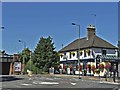
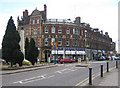

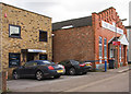
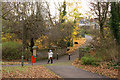

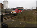
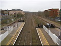
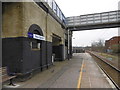
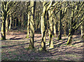
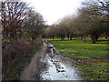
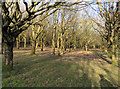
100 photos from this area
Area Information
Key information about the EN4 9PB including its size, population, and administrative classification.
- Area Type
- Postcode
- Area Size
- 7537 m²
- Population
- 1631
- Population Density
- 6839 people/km²
House Prices in EN4 9PB
30
Properties
£496,082
Average Sold Price
£90,700
Lowest Price
£775,000
Highest Price
Showing 30 properties
| Address | Type | Beds | Baths | Last Sale Price | Last Sale Date | |
|---|---|---|---|---|---|---|
| 139 Victoria Road, New Barnet, Barnet, EN4 9PB | Detached | 2 | 1 | £535,000 | Nov 2023 | |
| 94 Victoria Road, New Barnet, Barnet, EN4 9PB | Terraced | 3 | 1 | £625,000 | Aug 2023 | |
| 90 Victoria Road, New Barnet, Barnet, EN4 9PB | Semi-detached | 3 | 3 | £775,000 | Aug 2022 | |
| 98 Victoria Road, New Barnet, Barnet, EN4 9PB | house | 3 | 1 | £715,000 | Jun 2022 | |
| 141 Victoria Road, New Barnet, Barnet, EN4 9PB | Terraced | 2 | 1 | £530,000 | Jun 2021 | |
| 149 Victoria Road, New Barnet, Barnet, EN4 9PB | house | - | - | £680,000 | Oct 2020 | |
| 161 Victoria Road, New Barnet, Barnet, EN4 9PB | Semi-detached | 3 | 2 | £690,000 | Jun 2018 | |
| 137 Victoria Road, New Barnet, Barnet, EN4 9PB | Terraced | 2 | 1 | £509,450 | Oct 2017 | |
| 90A Victoria Road, New Barnet, Barnet, EN4 9PB | Semi-detached | 3 | 2 | £650,000 | Feb 2016 | |
| 96 Victoria Road, New Barnet, Barnet, EN4 9PB | Semi-detached | 3 | 1 | £320,000 | Jun 2011 |
Page 1 of 3
Energy Efficiency in EN4 9PB
Amenities
Schools
| Rank | School | Type | Entry gender | Ages |
|---|
Explore more schools in this area
Go to Schools tabDemographics
Household Size
Family (3-5 people)
most common
Accommodation Type
Houses
most common
Tenure
60
majority
Ethnic Group
White
most common
Religion
N/A
most common
Household Composition
N/A
most common
Age
47
median
Adults (30-64 years)
most common
Household Deprivation
N/A
with no deprivation
NS-SEC
46
in Lower managerial occupations
Explore more demographic insights in this area
Go to Demographics tabPlanning
Planning Constraints
- Flood RiskPremium
- Ramsar Wetland SitesPremium
- Area of Outstanding Natural BeautyPremium
- Protected Nature ReservePremium
- Protected WoodlandPremium