Area Overview for EN4 8TY
Photos of EN4 8TY
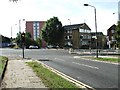
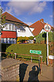
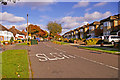
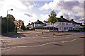
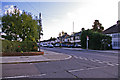
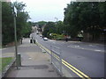
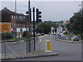
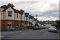
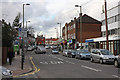

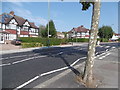
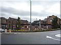
40 photos from this area
Area Information
Key information about the EN4 8TY including its size, population, and administrative classification.
- Area Type
- Postcode
- Area Size
- 7107 m²
- Population
- 1690
- Population Density
- 4621 people/km²
House Prices in EN4 8TY
24
Properties
£448,845
Average Sold Price
£96,000
Lowest Price
£865,000
Highest Price
Showing 24 properties
| Address | Type | Beds | Baths | Last Sale Price | Last Sale Date | |
|---|---|---|---|---|---|---|
| 74 Eton Avenue, East Barnet, Barnet, EN4 8TY | Terraced | 3 | 1 | £685,000 | Jan 2025 | |
| 84 Eton Avenue, East Barnet, Barnet, EN4 8TY | Semi-detached | 5 | 2 | £865,000 | Jun 2022 | |
| 50 Eton Avenue, East Barnet, Barnet, EN4 8TY | house | - | - | £700,000 | Dec 2020 | |
| 43 Eton Avenue, East Barnet, Barnet, EN4 8TY | Bungalow | 3 | 2 | £485,000 | Dec 2019 | |
| 56 Eton Avenue, East Barnet, Barnet, EN4 8TY | Terraced | 4 | 2 | £640,000 | Aug 2016 | |
| 70 Eton Avenue, East Barnet, Barnet, EN4 8TY | house | - | - | £475,000 | Aug 2015 | |
| 52 Eton Avenue, East Barnet, Barnet, EN4 8TY | Terraced | - | - | £318,500 | Jul 2007 | |
| 58 Eton Avenue, East Barnet, Barnet, EN4 8TY | Terraced | - | - | £285,000 | Aug 2005 | |
| 48 Eton Avenue, East Barnet, Barnet, EN4 8TY | Terraced | 3 | - | £288,000 | Jun 2004 | |
| 66 Eton Avenue, East Barnet, Barnet, EN4 8TY | Terraced | - | - | £99,800 | May 1997 |
Page 1 of 3
Energy Efficiency in EN4 8TY
Amenities
Schools
| Rank | School | Type | Entry gender | Ages |
|---|
Explore more schools in this area
Go to Schools tabDemographics
Household Size
Family (3-5 people)
most common
Accommodation Type
Houses
most common
Tenure
79
majority
Ethnic Group
White
most common
Religion
N/A
most common
Household Composition
N/A
most common
Age
47
median
Adults (30-64 years)
most common
Household Deprivation
N/A
with no deprivation
NS-SEC
43
in Lower managerial occupations
Explore more demographic insights in this area
Go to Demographics tabPlanning
Planning Constraints
- Flood RiskPremium
- Ramsar Wetland SitesPremium
- Area of Outstanding Natural BeautyPremium
- Protected Nature ReservePremium
- Protected WoodlandPremium