Area Overview for EN4 8TA
Photos of EN4 8TA
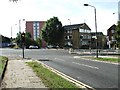
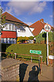
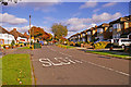
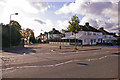
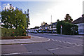
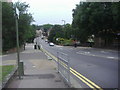
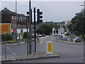
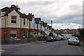
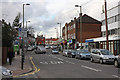
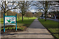
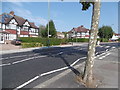
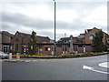
40 photos from this area
Area Information
Key information about the EN4 8TA including its size, population, and administrative classification.
- Area Type
- Postcode
- Area Size
- 6730 m²
- Population
- 1759
- Population Density
- 9337 people/km²
House Prices in EN4 8TA
14
Properties
£474,875
Average Sold Price
£226,000
Lowest Price
£697,000
Highest Price
Showing 14 properties
| Address | Type | Beds | Baths | Last Sale Price | Last Sale Date | |
|---|---|---|---|---|---|---|
| 48 Church Hill Road, East Barnet, Barnet, EN4 8TA | Retail | 4 | 1 | £697,000 | Apr 2022 | |
| 50 Church Hill Road, East Barnet, Barnet, EN4 8TA | Terraced | 4 | 1 | £625,000 | May 2018 | |
| 40 Church Hill Road, East Barnet, Barnet, EN4 8TA | Terraced | 3 | 1 | £565,000 | Nov 2017 | |
| 46 Church Hill Road, East Barnet, Barnet, EN4 8TA | Terraced | 4 | - | £535,000 | Apr 2015 | |
| 38 Church Hill Road, East Barnet, Barnet, EN4 8TA | Bungalow | 3 | 1 | £390,000 | Jan 2014 | |
| 36 Church Hill Road, East Barnet, Barnet, EN4 8TA | house | - | - | £360,000 | Jun 2011 | |
| 42 Church Hill Road, East Barnet, Barnet, EN4 8TA | Terraced | - | - | £401,000 | May 2007 | |
| 34 Church Hill Road, East Barnet, Barnet, EN4 8TA | Terraced | - | - | £226,000 | Oct 2003 | |
| 32 Church Hill Road, East Barnet, Barnet, EN4 8TA | Semi-detached | 3 | 1 | - | - | |
| 44 Church Hill Road, East Barnet, Barnet, EN4 8TA | Terraced | - | - | - | - |
Page 1 of 2
Energy Efficiency in EN4 8TA
Amenities
Schools
| Rank | School | Type | Entry gender | Ages |
|---|
Explore more schools in this area
Go to Schools tabDemographics
Household Size
Family (3-5 people)
most common
Accommodation Type
Flats
most common
Tenure
49
majority
Ethnic Group
White
most common
Religion
N/A
most common
Household Composition
N/A
most common
Age
47
median
Adults (30-64 years)
most common
Household Deprivation
N/A
with no deprivation
NS-SEC
35
in Lower managerial occupations
Explore more demographic insights in this area
Go to Demographics tabPlanning
Planning Constraints
- Flood RiskPremium
- Ramsar Wetland SitesPremium
- Area of Outstanding Natural BeautyPremium
- Protected Nature ReservePremium
- Protected WoodlandPremium