Area Overview for EN4 0ES
Photos of EN4 0ES
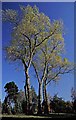
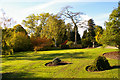
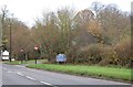
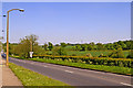
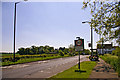
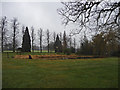
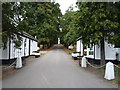
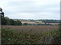
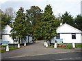
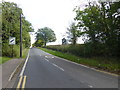
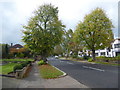
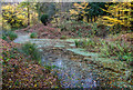
66 photos from this area
Area Information
Key information about the EN4 0ES including its size, population, and administrative classification.
- Area Type
- Postcode
- Area Size
- 2.1 hectares
- Population
- 1887
- Population Density
- 331 people/km²
House Prices in EN4 0ES
22
Properties
£842,000
Average Sold Price
£200,000
Lowest Price
£1,775,000
Highest Price
Showing 22 properties
| Address | Type | Beds | Baths | Last Sale Price | Last Sale Date | |
|---|---|---|---|---|---|---|
| 75 Lancaster Avenue, Enfield, EN4 0ES | Detached | 4 | 3 | £1,775,000 | Jul 2024 | |
| 93 Lancaster Avenue, Enfield, EN4 0ES | house | 4 | 4 | £1,615,000 | Apr 2021 | |
| 83 Lancaster Avenue, Enfield, EN4 0ES | Semi-detached | 3 | 1 | £1,050,000 | Feb 2019 | |
| 91 Lancaster Avenue, Enfield, EN4 0ES | house | - | - | £1,395,000 | Aug 2015 | |
| 77 Lancaster Avenue, Enfield, EN4 0ES | Detached | 4 | 2 | £1,287,500 | Jul 2014 | |
| 81 Lancaster Avenue, Enfield, EN4 0ES | house | - | - | £870,000 | Apr 2010 | |
| 89 Lancaster Avenue, Enfield, EN4 0ES | Semi-detached | - | - | £647,000 | Aug 2006 | |
| 103 Lancaster Avenue, Enfield, EN4 0ES | Semi-detached | - | - | £616,000 | Mar 2004 | |
| 113 Lancaster Avenue, Enfield, EN4 0ES | Semi-detached | 5 | 4 | £497,500 | Feb 2004 | |
| 105 Lancaster Avenue, Enfield, EN4 0ES | Semi-detached | - | - | £500,000 | May 2000 |
Page 1 of 3
Energy Efficiency in EN4 0ES
Amenities
Schools
| Rank | School | Type | Entry gender | Ages |
|---|
Explore more schools in this area
Go to Schools tabDemographics
Household Size
Family (3-5 people)
most common
Accommodation Type
Houses
most common
Tenure
86
majority
Ethnic Group
White
most common
Religion
N/A
most common
Household Composition
N/A
most common
Age
47
median
Adults (30-64 years)
most common
Household Deprivation
N/A
with no deprivation
NS-SEC
49
in Lower managerial occupations
Explore more demographic insights in this area
Go to Demographics tabPlanning
Planning Constraints
- Flood RiskPremium
- Ramsar Wetland SitesPremium
- Area of Outstanding Natural BeautyPremium
- Protected Nature ReservePremium
- Protected WoodlandPremium