Area Overview for EN3 7NB
Photos of EN3 7NB
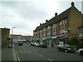
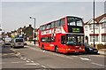
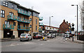
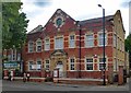
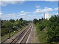
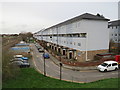
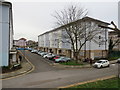
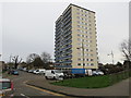
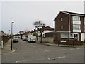
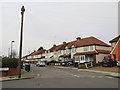
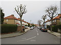
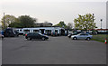
38 photos from this area
Area Information
Key information about the EN3 7NB including its size, population, and administrative classification.
- Area Type
- Postcode
- Area Size
- 1.1 hectares
- Population
- 1933
- Population Density
- 9888 people/km²
House Prices in EN3 7NB
39
Properties
£323,692
Average Sold Price
£102,500
Lowest Price
£690,000
Highest Price
Showing 39 properties
| Address | Type | Beds | Baths | Last Sale Price | Last Sale Date | |
|---|---|---|---|---|---|---|
| 212A Green Street, Enfield, EN3 7NB | Flat | 2 | 1 | £690,000 | May 2024 | |
| 214 Green Street, Enfield, EN3 7NB | Terraced | 3 | 1 | £412,500 | Apr 2024 | |
| 248 Green Street, Enfield, EN3 7NB | Terraced | 3 | 2 | £420,000 | Mar 2023 | |
| 234 Green Street, Enfield, EN3 7NB | Terraced | 3 | 1 | £465,000 | Feb 2023 | |
| 228 Green Street, Enfield, EN3 7NB | Semi-detached | 3 | 1 | £465,000 | Nov 2022 | |
| 236 Green Street, Enfield, EN3 7NB | house | 3 | 1 | £345,000 | May 2021 | |
| 216 Green Street, Enfield, EN3 7NB | house | 4 | - | £250,000 | Dec 2013 | |
| 212 Green Street, Enfield, EN3 7NB | house | 1 | 1 | £235,000 | Aug 2007 | |
| 240 Green Street, Enfield, EN3 7NB | house | - | - | £276,000 | Jun 2007 | |
| 200B Green Street, Enfield, EN3 7NB | Flat | - | - | £129,995 | May 2004 |
Page 1 of 4
Energy Efficiency in EN3 7NB
Amenities
Schools
| Rank | School | Type | Entry gender | Ages |
|---|
Explore more schools in this area
Go to Schools tabDemographics
Household Size
Family (3-5 people)
most common
Accommodation Type
Houses
most common
Tenure
60
majority
Ethnic Group
White
most common
Religion
N/A
most common
Household Composition
N/A
most common
Age
47
median
Adults (30-64 years)
most common
Household Deprivation
N/A
with no deprivation
NS-SEC
23
in Lower managerial occupations
Explore more demographic insights in this area
Go to Demographics tabPlanning
Planning Constraints
- Flood RiskPremium
- Ramsar Wetland SitesPremium
- Area of Outstanding Natural BeautyPremium
- Protected Nature ReservePremium
- Protected WoodlandPremium