Area Overview for EN3 7LJ
Photos of EN3 7LJ
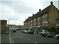
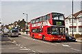
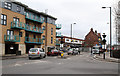
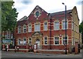
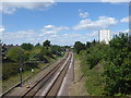
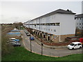
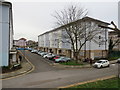
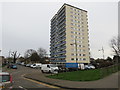
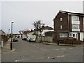
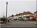
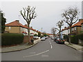
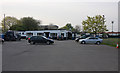
38 photos from this area
Area Information
Key information about the EN3 7LJ including its size, population, and administrative classification.
- Area Type
- Postcode
- Area Size
- 3537 m²
- Population
- 1933
- Population Density
- 9888 people/km²
House Prices in EN3 7LJ
14
Properties
£247,300
Average Sold Price
£170,000
Lowest Price
£379,000
Highest Price
Showing 14 properties
| Address | Type | Beds | Baths | Last Sale Price | Last Sale Date | |
|---|---|---|---|---|---|---|
| 68 Bowood Road, Enfield, EN3 7LJ | Terraced | 3 | 1 | £350,000 | Mar 2025 | |
| 56 Bowood Road, Enfield, EN3 7LJ | Terraced | 3 | 1 | £379,000 | Aug 2024 | |
| 48 Bowood Road, Enfield, EN3 7LJ | Terraced | 3 | 2 | £340,000 | Jun 2021 | |
| 54 Bowood Road, Enfield, EN3 7LJ | Terraced | 3 | - | £249,995 | Apr 2014 | |
| 72 Bowood Road, Enfield, EN3 7LJ | house | 3 | - | £200,000 | Nov 2010 | |
| 66 Bowood Road, Enfield, EN3 7LJ | house | 3 | 1 | £192,000 | Jan 2009 | |
| 62 Bowood Road, Enfield, EN3 7LJ | house | - | - | £205,000 | May 2007 | |
| 60 Bowood Road, Enfield, EN3 7LJ | house | - | - | £210,000 | Mar 2007 | |
| 70 Bowood Road, Enfield, EN3 7LJ | Terraced | - | - | £177,000 | Jul 2004 | |
| 58 Bowood Road, Enfield, EN3 7LJ | house | 3 | - | £170,000 | Jul 2004 |
Page 1 of 2
Energy Efficiency in EN3 7LJ
Amenities
Schools
| Rank | School | Type | Entry gender | Ages |
|---|
Explore more schools in this area
Go to Schools tabDemographics
Household Size
Family (3-5 people)
most common
Accommodation Type
Houses
most common
Tenure
60
majority
Ethnic Group
White
most common
Religion
N/A
most common
Household Composition
N/A
most common
Age
47
median
Adults (30-64 years)
most common
Household Deprivation
N/A
with no deprivation
NS-SEC
23
in Lower managerial occupations
Explore more demographic insights in this area
Go to Demographics tabPlanning
Planning Constraints
- Flood RiskPremium
- Ramsar Wetland SitesPremium
- Area of Outstanding Natural BeautyPremium
- Protected Nature ReservePremium
- Protected WoodlandPremium