Area Overview for EN3 6TE
Photos of EN3 6TE

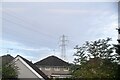
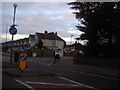
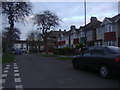
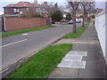
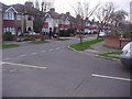
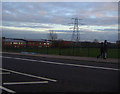
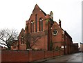
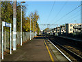

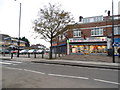
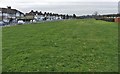
16 photos from this area
Area Information
Key information about the EN3 6TE including its size, population, and administrative classification.
- Area Type
- Postcode
- Area Size
- 8368 m²
- Population
- 1945
- Population Density
- 6934 people/km²
House Prices in EN3 6TE
22
Properties
£219,643
Average Sold Price
£60,000
Lowest Price
£370,000
Highest Price
Showing 22 properties
| Address | Type | Beds | Baths | Last Sale Price | Last Sale Date | |
|---|---|---|---|---|---|---|
| 17 Bullsmoor Lane, Enfield, EN3 6TE | Terraced | 4 | 1 | £367,000 | Aug 2023 | |
| 33 Bullsmoor Lane, Enfield, EN3 6TE | house | 3 | - | £370,000 | Nov 2021 | |
| 15 Bullsmoor Lane, Enfield, EN3 6TE | Terraced | 3 | 1 | £322,500 | Feb 2016 | |
| 21 Bullsmoor Lane, Enfield, EN3 6TE | Terraced | 3 | - | £227,000 | May 2014 | |
| 61 Bullsmoor Lane, Enfield, EN3 6TE | house | 3 | 1 | £305,000 | Feb 2012 | |
| 19 Bullsmoor Lane, Enfield, EN3 6TE | Terraced | 3 | 1 | £190,000 | Sep 2011 | |
| 51 Bullsmoor Lane, Enfield, EN3 6TE | house | 3 | - | £335,000 | May 2011 | |
| 55 Bullsmoor Lane, Enfield, EN3 6TE | Semi-detached | - | - | £337,000 | Sep 2007 | |
| 59 Bullsmoor Lane, Enfield, EN3 6TE | Semi-detached | - | - | £190,000 | Dec 2002 | |
| 11 Bullsmoor Lane, Enfield, EN3 6TE | house | - | - | £126,000 | May 2002 |
Page 1 of 3
Energy Efficiency in EN3 6TE
Amenities
Schools
| Rank | School | Type | Entry gender | Ages |
|---|
Explore more schools in this area
Go to Schools tabDemographics
Household Size
Family (3-5 people)
most common
Accommodation Type
Houses
most common
Tenure
62
majority
Ethnic Group
White
most common
Religion
N/A
most common
Household Composition
N/A
most common
Age
47
median
Adults (30-64 years)
most common
Household Deprivation
N/A
with no deprivation
NS-SEC
22
in Lower managerial occupations
Explore more demographic insights in this area
Go to Demographics tabPlanning
Planning Constraints
- Flood RiskPremium
- Ramsar Wetland SitesPremium
- Area of Outstanding Natural BeautyPremium
- Protected Nature ReservePremium
- Protected WoodlandPremium