Area Overview for EN3 6NF
Photos of EN3 6NF
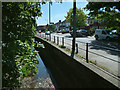
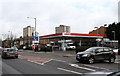
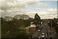
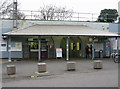
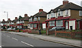
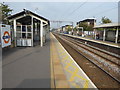
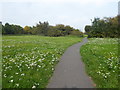
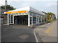
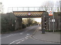
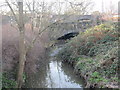
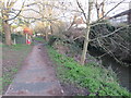
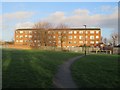
73 photos from this area
Area Information
Key information about the EN3 6NF including its size, population, and administrative classification.
- Area Type
- Postcode
- Area Size
- 1.0 hectares
- Population
- 1858
- Population Density
- 10282 people/km²
House Prices in EN3 6NF
33
Properties
£249,026
Average Sold Price
£60,000
Lowest Price
£525,000
Highest Price
Showing 33 properties
| Address | Type | Beds | Baths | Last Sale Price | Last Sale Date | |
|---|---|---|---|---|---|---|
| 64 Totteridge Road, Enfield, EN3 6NF | Terraced | 3 | 1 | £374,995 | Dec 2025 | |
| 36 Totteridge Road, Enfield, EN3 6NF | Semi-detached | 3 | 1 | £525,000 | Jan 2022 | |
| 52 Totteridge Road, Enfield, EN3 6NF | Terraced | 2 | 1 | £295,000 | Nov 2021 | |
| 78 Totteridge Road, Enfield, EN3 6NF | house | - | - | £450,100 | Aug 2021 | |
| 74 Totteridge Road, Enfield, EN3 6NF | Detached | 3 | 1 | £350,000 | Dec 2019 | |
| 56 Totteridge Road, Enfield, EN3 6NF | Terraced | 2 | 1 | £325,000 | Jul 2019 | |
| 62 Totteridge Road, Enfield, EN3 6NF | house | - | - | £249,995 | Jul 2012 | |
| 76 Totteridge Road, Enfield, EN3 6NF | house | 2 | - | £202,500 | Jun 2012 | |
| 47 Totteridge Road, Enfield, EN3 6NF | house | - | - | £257,500 | Apr 2010 | |
| 46 Totteridge Road, Enfield, EN3 6NF | Flat | 5 | 1 | £299,000 | Aug 2008 |
Page 1 of 4
Energy Efficiency in EN3 6NF
Amenities
Schools
| Rank | School | Type | Entry gender | Ages |
|---|
Explore more schools in this area
Go to Schools tabDemographics
Household Size
Family (3-5 people)
most common
Accommodation Type
Houses
most common
Tenure
52
majority
Ethnic Group
White
most common
Religion
N/A
most common
Household Composition
N/A
most common
Age
47
median
Adults (30-64 years)
most common
Household Deprivation
N/A
with no deprivation
NS-SEC
23
in Lower managerial occupations
Explore more demographic insights in this area
Go to Demographics tabPlanning
Planning Constraints
- Flood RiskPremium
- Ramsar Wetland SitesPremium
- Area of Outstanding Natural BeautyPremium
- Protected Nature ReservePremium
- Protected WoodlandPremium