Area Overview for EN3 5QA
Photos of EN3 5QA
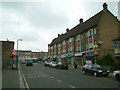
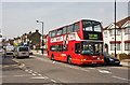
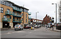

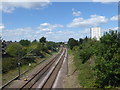
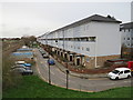
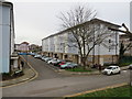
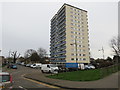
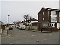
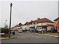
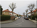
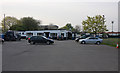
38 photos from this area
Area Information
Key information about the EN3 5QA including its size, population, and administrative classification.
- Area Type
- Postcode
- Area Size
- 3734 m²
- Population
- 1646
- Population Density
- 4946 people/km²
House Prices in EN3 5QA
10
Properties
£358,187
Average Sold Price
£152,500
Lowest Price
£590,000
Highest Price
Showing 10 properties
| Address | Type | Beds | Baths | Last Sale Price | Last Sale Date | |
|---|---|---|---|---|---|---|
| 16 Elmore Road, Enfield, EN3 5QA | Semi-detached | 3 | 1 | £590,000 | Nov 2023 | |
| 13 Elmore Road, Enfield, EN3 5QA | house | - | - | £425,000 | Dec 2020 | |
| 22 Elmore Road, Enfield, EN3 5QA | Semi-detached | 3 | 1 | £370,000 | May 2017 | |
| 11 Elmore Road, Enfield, EN3 5QA | Terraced | 3 | 1 | £449,999 | Dec 2016 | |
| 18 Elmore Road, Enfield, EN3 5QA | Terraced | 4 | 2 | £380,000 | Dec 2015 | |
| 15 Elmore Road, Enfield, EN3 5QA | Terraced | 3 | - | £250,000 | Jul 2014 | |
| 20 Elmore Road, Enfield, EN3 5QA | Terraced | - | - | £248,000 | Sep 2004 | |
| 21 Elmore Road, Enfield, EN3 5QA | house | - | - | £152,500 | Feb 2002 | |
| 17 Elmore Road, Enfield, EN3 5QA | house | - | - | - | - | |
| 19 Elmore Road, Enfield, EN3 5QA | house | 3 | - | - | - |
Energy Efficiency in EN3 5QA
Amenities
Schools
| Rank | School | Type | Entry gender | Ages |
|---|
Explore more schools in this area
Go to Schools tabDemographics
Household Size
Family (3-5 people)
most common
Accommodation Type
Houses
most common
Tenure
39
majority
Ethnic Group
White
most common
Religion
N/A
most common
Household Composition
N/A
most common
Age
47
median
Adults (30-64 years)
most common
Household Deprivation
N/A
with no deprivation
NS-SEC
18
in Lower managerial occupations
Explore more demographic insights in this area
Go to Demographics tabPlanning
Planning Constraints
- Flood RiskPremium
- Ramsar Wetland SitesPremium
- Area of Outstanding Natural BeautyPremium
- Protected Nature ReservePremium
- Protected WoodlandPremium