Area Overview for EN2 8JS
Photos of EN2 8JS
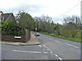
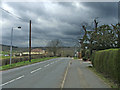
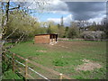
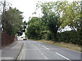
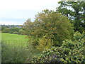
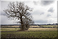
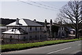
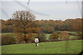
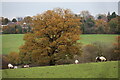
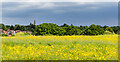
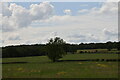
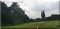
37 photos from this area
Area Information
Key information about the EN2 8JS including its size, population, and administrative classification.
- Area Type
- Postcode
- Area Size
- 7987 m²
- Population
- Not available
- Population Density
- Not available
House Prices in EN2 8JS
16
Properties
£579,250
Average Sold Price
£165,000
Lowest Price
£1,100,000
Highest Price
Showing 16 properties
| Address | Type | Beds | Baths | Last Sale Price | Last Sale Date | |
|---|---|---|---|---|---|---|
| 26 Hadley Road, Enfield, EN2 8JS | Semi-detached | 4 | 2 | £900,000 | Jul 2024 | |
| 20 Hadley Road, Enfield, EN2 8JS | Semi-detached | 3 | 2 | £820,000 | Nov 2022 | |
| 22 Hadley Road, Enfield, EN2 8JS | Semi-detached | 4 | 3 | £1,100,000 | Jun 2022 | |
| 16 Hadley Road, Enfield, EN2 8JS | Semi-detached | 6 | 3 | £850,000 | Sep 2021 | |
| 18 Hadley Road, Enfield, EN2 8JS | house | - | - | £825,000 | Jun 2021 | |
| 30 Hadley Road, Enfield, EN2 8JS | house | - | - | £640,000 | Mar 2021 | |
| 28 Hadley Road, Enfield, EN2 8JS | Semi-detached | 5 | 1 | £750,000 | Mar 2018 | |
| 12 Hadley Road, Enfield, EN2 8JS | Terraced | 3 | 1 | £568,000 | Apr 2015 | |
| 24 Hadley Road, Enfield, EN2 8JS | Semi-detached | 4 | 3 | £495,000 | Jul 2012 | |
| 8 Hadley Road, Enfield, EN2 8JS | house | - | - | £455,000 | Jun 2010 |
Page 1 of 2
Energy Efficiency in EN2 8JS
Amenities
Schools
| Rank | School | Type | Entry gender | Ages |
|---|
Explore more schools in this area
Go to Schools tabDemographics
Household Size
Family (3-5 people)
most common
Accommodation Type
Houses
most common
Tenure
68
majority
Ethnic Group
White
most common
Religion
N/A
most common
Household Composition
N/A
most common
Age
47
median
Adults (30-64 years)
most common
Household Deprivation
N/A
with no deprivation
NS-SEC
47
in Lower managerial occupations
Explore more demographic insights in this area
Go to Demographics tabPlanning
Planning Constraints
- Flood RiskPremium
- Ramsar Wetland SitesPremium
- Area of Outstanding Natural BeautyPremium
- Protected Nature ReservePremium
- Protected WoodlandPremium